| Åker's Canal Åkersström, Åkers å, Åkersströmmen | |
|---|---|
 | |
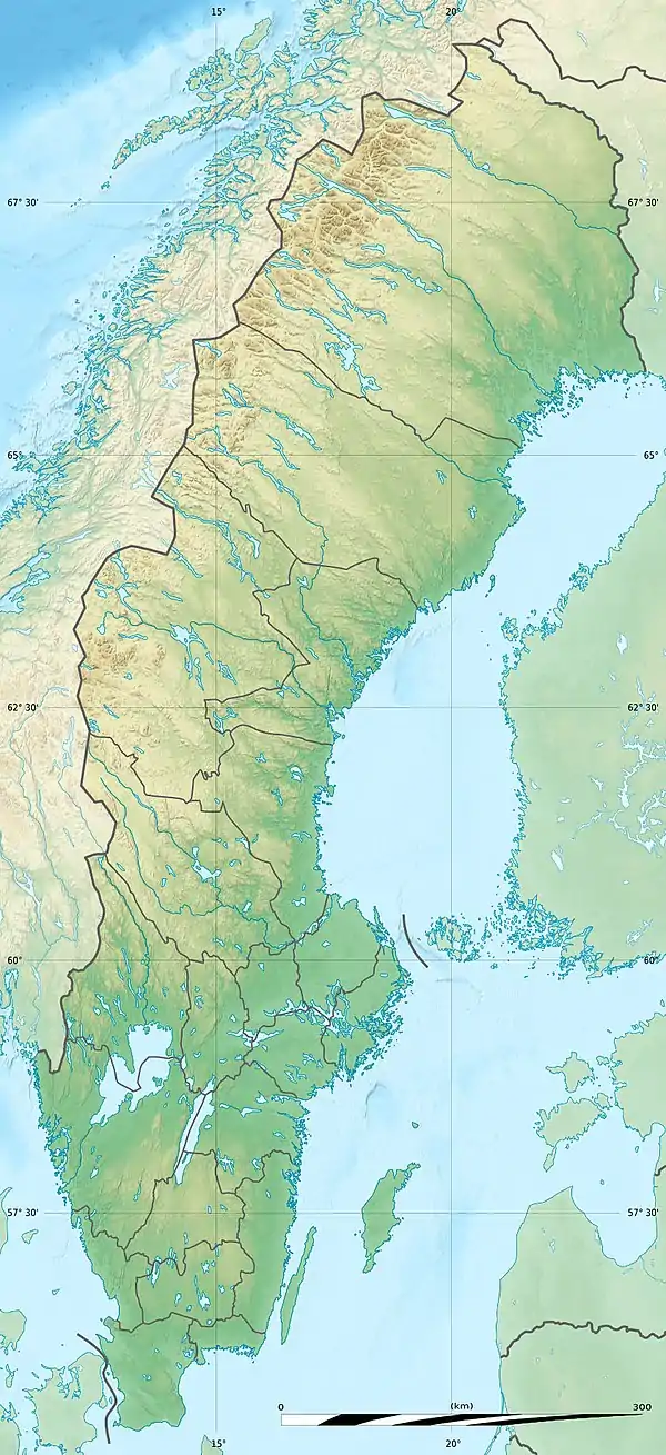 Location of the mouth in Sweden | |
| Native name | Åkers kanal (Swedish) |
| Location | |
| Country | Sweden |
| County | Stockholm County |
| Municipality | Österåker Municipality |
| Physical characteristics | |
| Source | Garnsviken |
| • coordinates | 59°30′45″N 18°16′00″E / 59.51250°N 18.26667°E |
| Mouth | Tunafjärden |
• coordinates | 59°28′15″N 18°17′28″E / 59.47083°N 18.29111°E |
| Length | 10.7 km (6.6 mi)[1] |
| Basin size | 395.9 km2 (152.9 sq mi)[2] |
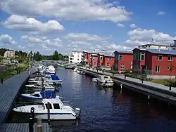
Åker's Canal (Swedish: Åkers kanal), previous known as Åkersström, is a waterway in Sweden. It was originally a natural river, but was renamed after having been regulated in the 19th century to be used as a canal.
References
- ↑ "Åkers kanal". Nationalencyklopedin (in Swedish). Retrieved 15 July 2010. (subscription required)
- ↑ "Län och huvudavrinningsområden i Sverige" (PDF) (in Swedish). Swedish Meteorological and Hydrological Institute. Retrieved 15 July 2010.
This article is issued from Wikipedia. The text is licensed under Creative Commons - Attribution - Sharealike. Additional terms may apply for the media files.