Amgoria | |
|---|---|
village | |
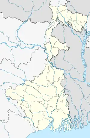 Amgoria Location in West Bengal, India  Amgoria Amgoria (India) | |
| Coordinates: 26°24′42″N 89°04′38″E / 26.41155°N 89.07715°E | |
| Country | |
| State | West Bengal |
| District | Bardhaman |
| Area | |
| • Total | 7 km2 (3 sq mi) |
| Population | |
| • Total | 8,000 |
| • Density | 1,100/km2 (3,000/sq mi) |
| Languages | |
| • Official | Bengali, English |
| Time zone | UTC+5:30 (IST) |
| ISO 3166 code | IN-WB |
| Vehicle registration | WB |
| Climate | moderate (Köppen) |
| Precipitation | 1,500–2,000 millimetres (59–79 in) |
| Avg. summer temperature | 37 °C (99 °F) |
| Avg. winter temperature | 8 °C (46 °F) |
| Website | wb |
Amgoria, previously known as Amgadda, is a large village Burdwan division of the West Bengal state in India. Situated in the pocket of Burdwan, Birbhum, Murshidabad and Nadia District. 29 km by road from Katwa, 32 km from Shantiniketan. The village was formerly under the Birbhum District; in 1946-47, it was incorporated in Burdwan District. Amgoria is connected to the rest of India through Metal Road Net.
Cities, towns and locations in Birbhum district, West Bengal | |||||||
|---|---|---|---|---|---|---|---|
| Cities, municipal and census towns |
| ||||||
| Locations other than cities and towns |
| ||||||
| See also |
| ||||||
This article is issued from Wikipedia. The text is licensed under Creative Commons - Attribution - Sharealike. Additional terms may apply for the media files.