Barberino di Mugello | |
|---|---|
| Comune di Barberino di Mugello | |
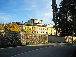 Villa Le Maschere | |
Location of Barberino di Mugello | |
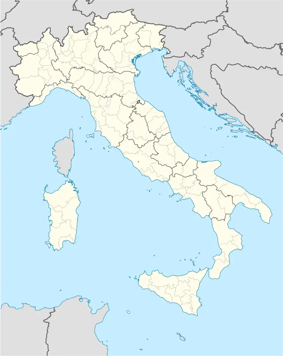 Barberino di Mugello Location of Barberino di Mugello in Italy 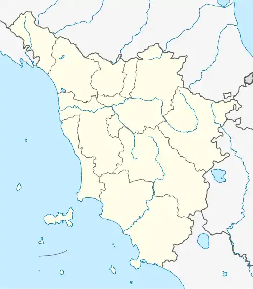 Barberino di Mugello Barberino di Mugello (Tuscany) | |
| Coordinates: 44°00′05″N 11°14′21″E / 44.00139°N 11.23917°E | |
| Country | Italy |
| Region | Tuscany |
| Metropolitan city | Florence (FI) |
| Frazioni | Cavallina (2500 abitanti circa), Galliano, Montecarelli, Latera |
| Government | |
| • Mayor | Giampiero Mongatti |
| Area | |
| • Total | 133.29 km2 (51.46 sq mi) |
| Elevation | 270 m (890 ft) |
| Population (28 February 2017)[2] | |
| • Total | 10,864 |
| • Density | 82/km2 (210/sq mi) |
| Demonym | Barberinesi |
| Time zone | UTC+1 (CET) |
| • Summer (DST) | UTC+2 (CEST) |
| Postal code | 50031 |
| Dialing code | 055 |
| Website | Official website |
Barberino di Mugello is a comune (municipality) in the Metropolitan City of Florence in the Italian region Tuscany, located about 25 kilometres (16 mi) north of Florence. Barberino di Mugello borders the following municipalities: Calenzano, Cantagallo, Castiglione dei Pepoli, Firenzuola, San Piero a Sieve, Scarperia, Vaiano, Vernio.
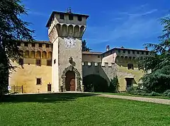
Sights include the Villa Medici of Cafaggiolo.
Twin towns
 Laurenzana, Italy
References
- ↑ "Superficie di Comuni Province e Regioni italiane al 9 ottobre 2011". Italian National Institute of Statistics. Retrieved 16 March 2019.
- ↑ All demographics and other statistics: Italian statistical institute Istat.
External links
![]() Media related to Barberino di Mugello at Wikimedia Commons
Media related to Barberino di Mugello at Wikimedia Commons

This article is issued from Wikipedia. The text is licensed under Creative Commons - Attribution - Sharealike. Additional terms may apply for the media files.