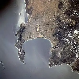
Cape of Good Hope (left) and Cape Hangklip (right) in South Africa, from space

In geography, a cape is a headland, or peninsula or promontory extending into a body of water, usually the sea.[1] A cape usually represents a marked change in trend of the coastline, often making them important landmarks in sea navigation. This also makes them prone to natural forms of erosion, mainly tidal actions, resulting in a relatively short geological lifespan. Capes can be formed by glaciers, volcanoes, and changes in sea level. Erosion plays a large role in each of these methods of formation.
Gallery
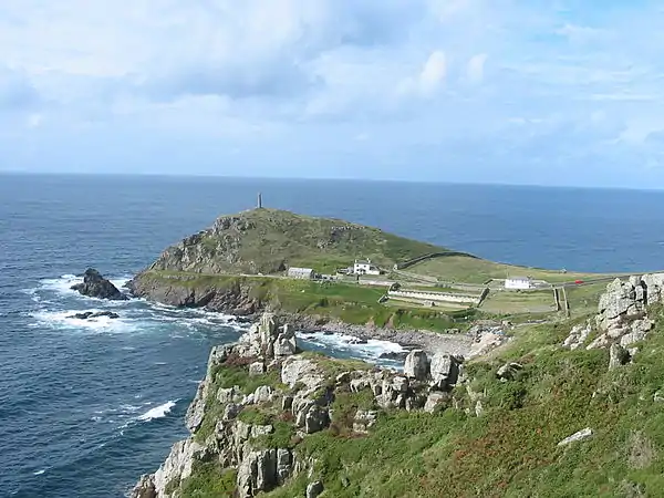 Cape Cornwall, England
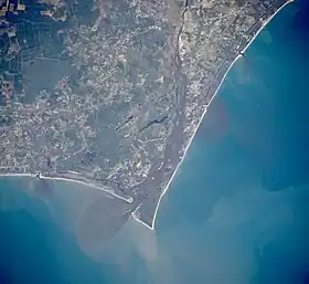 Satellite image of Cape Fear, North Carolina
.jpg.webp) Cape MacLear, Malawi
Cape MacLear, Malawi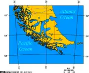 Map depicting Cape Horn at the southernmost portion of South America
 Photograph of Cabo Mayor in Santander, Spain
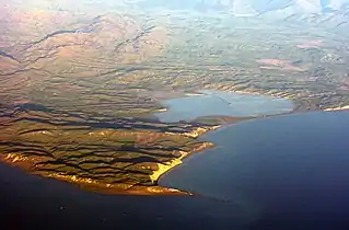 Photograph of Cape Cambell, New Zealand, at sunrise
See also
References
External links
Wikimedia Commons has media related to Capes (geography).
This article is issued from Wikipedia. The text is licensed under Creative Commons - Attribution - Sharealike. Additional terms may apply for the media files.