Čenta
Чента | |
|---|---|
 The Orthodox church | |
 Čenta Location of Čenta within Serbia 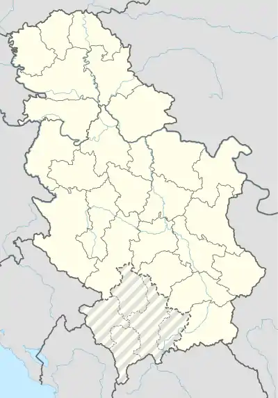 Čenta Čenta (Serbia)  Čenta Čenta (Europe) | |
| Coordinates: 45°06′18″N 20°23′10″E / 45.10500°N 20.38611°E | |
| Country | Serbia |
| Province | Vojvodina |
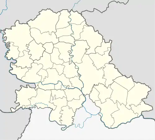
| District | Central Banat |
| Elevation | 76 m (249 ft) |
| Population (2002) | |
| • Čenta | 3,119 |
| Time zone | UTC+1 (CET) |
| • Summer (DST) | UTC+2 (CEST) |
| Postal code | 23266 |
| Area code | +381(0)23 |
| Car plates | ZR |
Čenta (Serbian Cyrillic: Чента; Hungarian: Csenta) is a village located in the Zrenjanin municipality, in the Central Banat District of Serbia. It is situated in the Autonomous Province of Vojvodina. The village has a Serb ethnic majority (95.19%) and the population is 3,119 (2002 census).
Name
In Serbian, the village is known as Čenta (Чента), in Hungarian as Csenta, and in German as Tschenta.
Historical population
- 1961: 3,182
- 1971: 3,224
- 1981: 3,192
- 1991: 3,001
- 2002: 3,119
References
- Slobodan Ćurčić, Broj stanovnika Vojvodine, Novi Sad, 1996.
See also
Wikimedia Commons has media related to Čenta.
This article is issued from Wikipedia. The text is licensed under Creative Commons - Attribution - Sharealike. Additional terms may apply for the media files.