Gumma | |
|---|---|
 | |
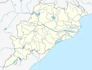 Gumma Location in Odisha, India  Gumma Gumma (India) | |
| Coordinates: 18°59′02″N 84°01′12″E / 18.9839°N 84.0200°E | |
| Country | India |
| State | Odisha |
| District | Gajapati |
| Founded by | Government of Odisha |
| Government | |
| • Type | Local Government (Tier 3) |
| • Body | Gummā Panchayat Samiti |
| • MLA | Shri Koduru Narayana Rao BJP |
| Area | |
| • Total | 441.92 km2 (170.63 sq mi) |
| • Rank | 5th in Gajapati District |
| Population (2020) | |
| • Total | 72,808 |
| • Density | 165/km2 (430/sq mi) |
| Languages | |
| • Official | Odia |
| Time zone | UTC+5:30 (IST) |
| PIN | 761201 761207 |
| Telephone code | 06815 |
| Website | odisha |
Gumma is a village and Community Development Block in the Gajapati District of Odisha state in India. The Block had a population of 72,808 in 2020 census. Paralakhemundi (Odisha Vidhan Sabha constituency) (Sl. No.: 137) is its Vidhan Sabha constituency.This constituency includes Gumma block, Kashinagar block, Paralakhemundi block.
References
This article is issued from Wikipedia. The text is licensed under Creative Commons - Attribution - Sharealike. Additional terms may apply for the media files.