Hosabettu | |
|---|---|
village | |
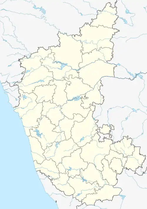 Hosabettu Location in Karnataka, India | |
| Coordinates: 13°01′N 75°00′E / 13.02°N 75.00°E | |
| Country | |
| State | |
| District | Dakshina Kannada |
| Government | |
| • Body | Gram panchayat |
| Area | |
| • Total | 10.06 km2 (3.88 sq mi) |
| Population (2011) | |
| • Total | 2,260 |
| • Density | 220/km2 (580/sq mi) |
| Languages | |
| • Official | Kannada |
| Time zone | UTC+5:30 (IST) |
| PIN | 575026 |
| ISO 3166 code | IN-KA |
| Vehicle registration | KA |
| Website | karnataka |
Hosabettu is a village in Dakshina Kannada District in the Indian state of Karnataka. It is located near Moodbidri and Mangalore.
Demographics
As of 2011 India census, Hosabettu had a population of 2,260. Males constitute 48.45% of the population and females 51.55%. Hosabettu village has geographical area of 1006.63 hectares with 498 families residing in it. The average sex ratio was 1064. Hosabettu had an average literacy rate of 90.3%, higher than the national average of 74.04%: male literacy was 94.3%, and female literacy was 86.6%. In Hosabettu, 8% of the population was under 6 years of age. Languages are primarily Tulu, Konkani and Kannada.
Also there is another place by same name Hosabettu a residential locality near Surathkal coming under Mangaluru City Corporation limits. This Hosabettu adjoins national highway 66 ( previously NH-17 ) running from Panvel (near Mumbai city) to Kochi (Cochin).