| Errisbeg | |
|---|---|
| Iorras Beag | |
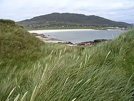 A view of Errisbeg from Gurteen Bay. | |
| Highest point | |
| Elevation | 300[1] m (980 ft) |
| Prominence | 300 m (980 ft) |
| Listing | Marilyn |
| Coordinates | 53°24′0″N 9°57′0″W / 53.40000°N 9.95000°W |
| Naming | |
| Native name | Ioras Beag (Irish) |
| Geography | |
 Errisbeg | |
| OSI/OSNI grid | L697401 |
| Topo map | OSi Discovery 44 |
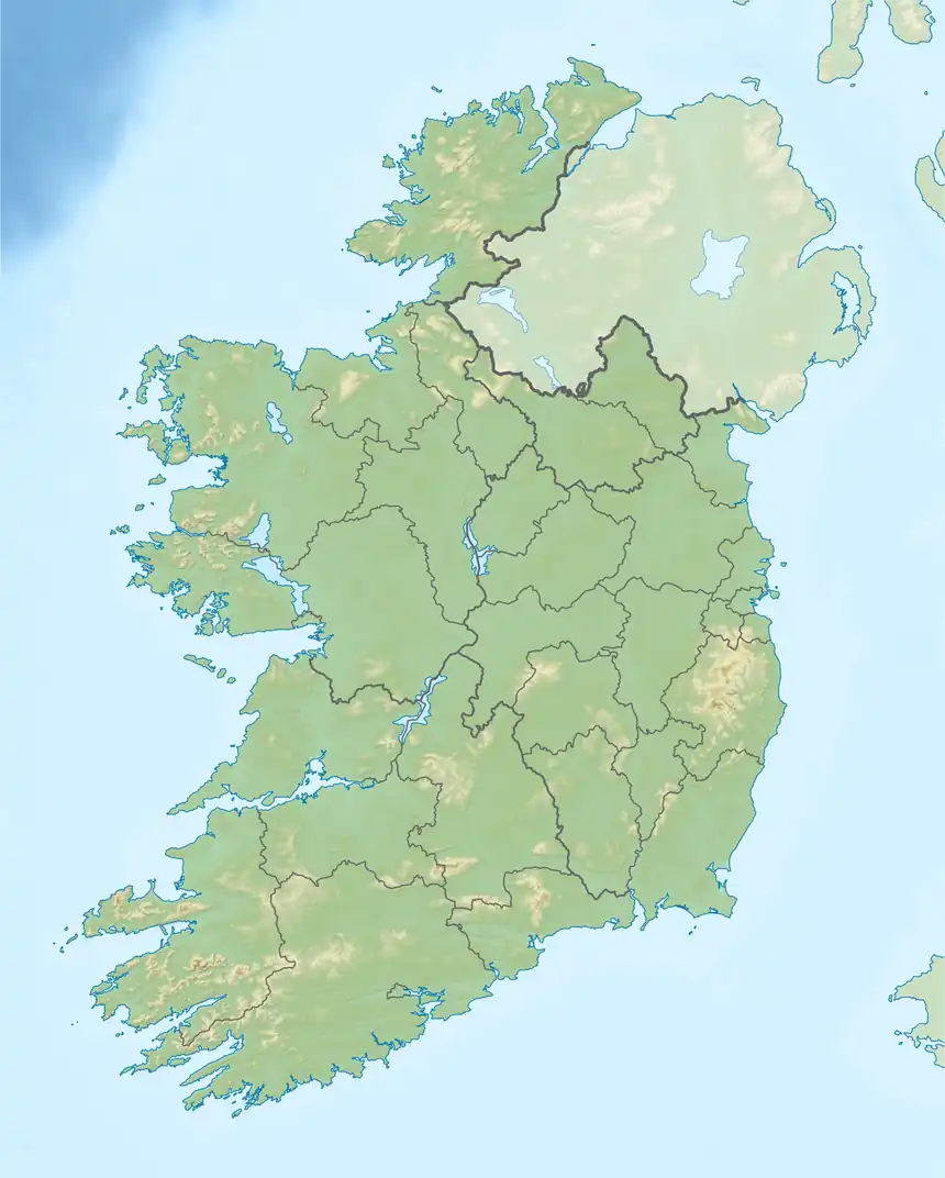
Errisbeg Mountain or Errisbeg (Irish: Iorras Beag) is a hill in Roundstone, County Galway, in the West of Ireland, with a height of 300 m.
The summit has views of both the Roundstone bog and the Atlantic. On a clear day the Aran Islands are visible to the south and Clifden and the Twelve Bens to the North.
References
- ↑ "South Connemara". MountainViews. Ordnance Survey Ireland. Retrieved 6 February 2015.
![]() Media related to Errisbeg at Wikimedia Commons
Media related to Errisbeg at Wikimedia Commons
Mountains and hills of Connacht | |||||||
|---|---|---|---|---|---|---|---|
| Achill Island | 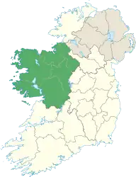 | ||||||
| Dartry Mountains | |||||||
| Maumturks | |||||||
| Mweelrea Mountains | |||||||
| Nephin Range | |||||||
| Ox Mountains | |||||||
| Partry Mountains | |||||||
| Sheeffry Range | |||||||
| Benna Beola |
| ||||||
| Others | |||||||
This article is issued from Wikipedia. The text is licensed under Creative Commons - Attribution - Sharealike. Additional terms may apply for the media files.