Jamunamarathur | |
|---|---|
town | |
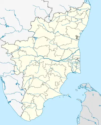 Jamunamarathur Location in Tamil Nadu, India | |
| Coordinates: 12°38′N 79°00′E / 12.64°N 79.00°E | |
| Country | |
| State | Tamil Nadu |
| District | Tiruvanamalai |
| Elevation | 780 m (2,560 ft) |
| Population (2001) | |
| • Total | 9,861 |
| Languages | |
| • Official | Tamil |
| Time zone | UTC+5:30 (IST) |
| Telephone code | 04181 |
Jamunamarathur is in the top of Jawathu Hills. It has a population of 9861 and altitude of 857m. It is the second highest place in Thiruvannamalai district. It became a 3rd grade town Panchayat in 1999 and second grade in 2008.
This article is issued from Wikipedia. The text is licensed under Creative Commons - Attribution - Sharealike. Additional terms may apply for the media files.