Kannawurf | |
|---|---|
Location of Kannawurf | |
 Kannawurf 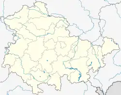 Kannawurf | |
| Coordinates: 51°16′N 11°8′E / 51.267°N 11.133°E | |
| Country | Germany |
| State | Thuringia |
| District | Sömmerda |
| Municipality | Kindelbrück |
| Area | |
| • Total | 15.43 km2 (5.96 sq mi) |
| Elevation | 138 m (453 ft) |
| Population (2017-12-31) | |
| • Total | 783 |
| • Density | 51/km2 (130/sq mi) |
| Time zone | UTC+01:00 (CET) |
| • Summer (DST) | UTC+02:00 (CEST) |
| Postal codes | 06578 |
| Dialling codes | 036375 |
Kannawurf is a village and a former municipality in the Sömmerda district of Thuringia, Germany. Since 1 January 2019, it is part of the municipality Kindelbrück.
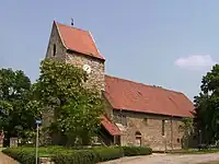
Kannawurf, church
This article is issued from Wikipedia. The text is licensed under Creative Commons - Attribution - Sharealike. Additional terms may apply for the media files.