Kech District
ضلع کیچ کیچ دمگ | |
|---|---|
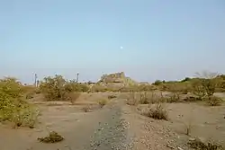  Katak Fort Bottom: Fields in Tejaban | |
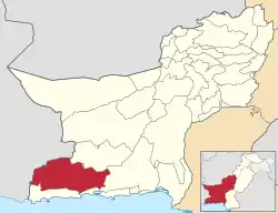 Map of Balochistan with Kech District highlighted in maroon | |
| Country | |
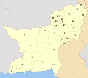
| Province | |
| Division | Makran |
| Headquarter | Turbat |
| Government | |
| • Type | District Administration |
| • Deputy Commissioner | N/A |
| • District Police Officer | N/A |
| • District Health Officer | N/A |
| Area | |
| • Total | 22,539 km2 (8,702 sq mi) |
| Population (2017)[1] | |
| • Total | 909,116 |
| • Density | 40/km2 (100/sq mi) |
| Time zone | UTC+5 (PST) |
| Number of Tehsils | 5 |
Kech District (Urdu: ضلع کیچ) is a district located in the Balochistan province of Pakistan.
Administration
The district of Kech is administratively subdivided into the following tehsils, each of which contains several villages:[2][3]
Demographics
At the time of the 2017 census, the district had 137,052 households and a population of 909,116. Kech had a sex ratio of 840 females per 1000 males and a literacy rate of 62.66% - 68.17% for males and 56.17% for females. 33.29% of the population lived in urban areas. 28.56% of the population was under 10 years of age. 1,710 (0.19%) of the population were from religious minorities, mainly Hindus. Balochi was the predominant language, spoken by 97.57% of the population, with small minorities of Brahui, Sindhi and Kashmiri speakers.[1]
References
- 1 2 "District Wise Results / Tables (Census - 2017)". Pakistan Bureau of Statistics. Archived from the original on 12 June 2023.
- ↑ "Tehsils & Unions in the District of Kech/Turbat". National Reconstruction Bureau, Government of Pakistan. Archived from the original on 5 August 2012. Retrieved 27 March 2023.
- 1 2 3 4 "Zila, Tehsil & Town Councils Membership for Balochistan". National Reconstruction Bureau, Government of Pakistan. Archived from the original on 26 March 2012. Retrieved 27 March 2023.