Select a region on the graphical atlas to view a list of the fossiliferous stratigraphic units in that area of Canada.
Graphical atlas
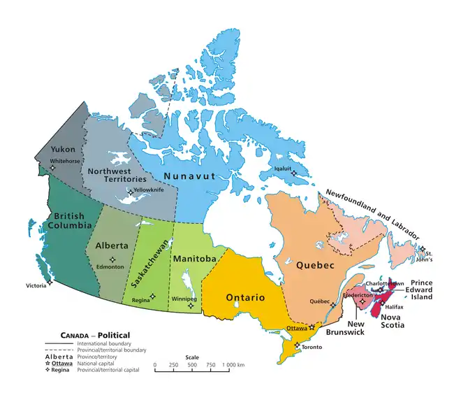
A clickable map of Canada exhibiting its ten provinces and three territories, and their capitals.
See also
Lists of fossiliferous stratigraphic units in the Americas | ||
|---|---|---|
| ||
| .svg.png.webp) | |
| Sovereign states |
| |
| ||
This article is issued from Wikipedia. The text is licensed under Creative Commons - Attribution - Sharealike. Additional terms may apply for the media files.