| Long Lost Lake | |
|---|---|
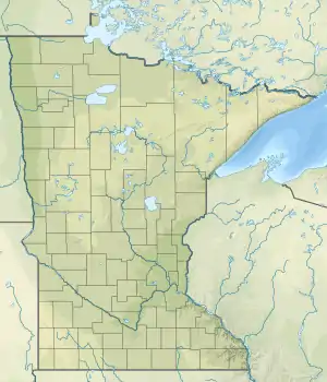 Long Lost Lake  Long Lost Lake | |
| Location | Long Lost Lake Township, Clearwater County, Minnesota |
| Coordinates | 47°11′42″N 95°25′07″W / 47.19500°N 95.41861°W |
| Type | closed-basin lake |
| Primary inflows | groundwater |
| Primary outflows | none |
| Basin countries | United States |
| Surface area | 2 km2 (490 acres) |
| Residence time | 1.8 years |
| Surface elevation | 489–493 m (1,604–1,617 ft) |
Long Lost Lake is located in Clearwater County, Minnesota, United States. The closed-basin lake's waterlevel rose from 489 m in 1991 to 491 m in 2001.
External links
- "Hydrologic Conditions and Lake-Level Fluctuations at Long Lost Lake, 1939–2004" (PDF). (1.95 MiB)
- "Lake Assessment Program 1993: Lost Lake" (PDF). Archived from the original (PDF) on 2006-02-11. (1.39 MiB)
- http://longlostlake.com
- Waterlevels (1992-2006)
- U.S. Geological Survey Geographic Names Information System: Long Lost Lake
This article is issued from Wikipedia. The text is licensed under Creative Commons - Attribution - Sharealike. Additional terms may apply for the media files.