Metengliang | |
|---|---|
Village | |
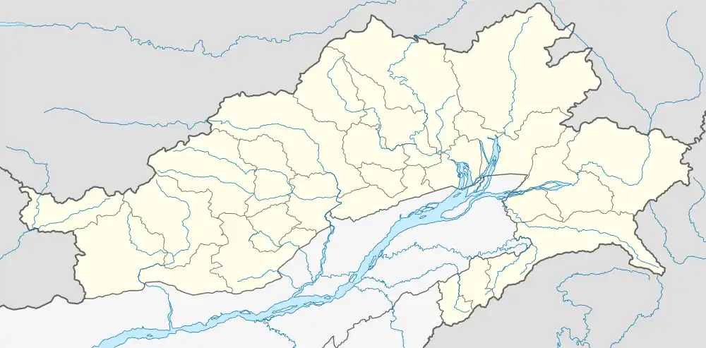 Metengliang Location in Arunachal Pradesh, India  Metengliang Metengliang (India) | |
| Coordinates: 28°12′19″N 96°31′57″E / 28.2053°N 96.5325°E | |
| Country | |
| State | Arunachal Pradesh |
| District | Anjaw district |
| Elevation | 1,200 m (3,900 ft) |
| Languages | |
| • Official | English |
| Time zone | UTC+05:30 (IST) |
| Vehicle registration | AR |
Metengliang is a village and the headquarters of an eponymous circle in the Anjaw district in the north-eastern state of Arunachal Pradesh, India.
Metengliang is situated on the bank of the Delei River, a tributary of the Lohit River.[1] The nearest town is Hayuliang which is also the headquarters of the subdivision.
The Metengliang Circle had a population of 1,608 people, distributed in 30 villages, as per the 2011 census.[2]
References
- ↑ Map of Anjaw, Anjaw District website, retrieved 5 July 2021.
- ↑ Anjaw District Census Handbook, Part A, Census of India, 2012, p. 20, 146–147.
Places adjacent to Metengliang | ||||||||||||||||
|---|---|---|---|---|---|---|---|---|---|---|---|---|---|---|---|---|
| ||||||||||||||||
This article is issued from Wikipedia. The text is licensed under Creative Commons - Attribution - Sharealike. Additional terms may apply for the media files.