| Mont Abourasséin | |
|---|---|
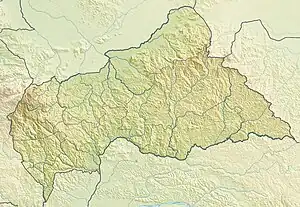
 Mont Abourasséin Location on the Central African Republic – South Sudan border | |
| Highest point | |
| Elevation | 1,113 m (3,652 ft) |
| Coordinates | 8°36′21″N 24°16′46″E / 8.60583°N 24.27944°E |
| Geography | |
| Location | Central African Republic – South Sudan border |
Mont Abourasséin is a mountain in Central Africa. It is 1113 metres tall and stands on the international boundary between the Central African Republic and South Sudan. It is in the Haute-Kotto prefecture of the Central African Republic and the Western Bahr el Ghazal state of South Sudan.
References
This article is issued from Wikipedia. The text is licensed under Creative Commons - Attribution - Sharealike. Additional terms may apply for the media files.