| Muryongsan | |
|---|---|
 Muryongsan | |
| Highest point | |
| Elevation | 452 m (1,483 ft)[1] |
| Coordinates | 35°35′35″N 129°24′00″E / 35.593°N 129.400°E |
| Geography | |
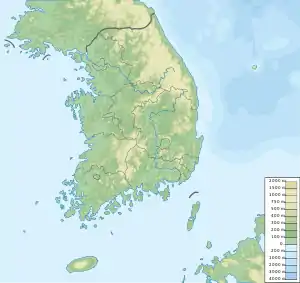
| Location | Ulsan, South Korea |
| Korean name | |
| Hangul | |
|---|---|
| Hanja | |
| Revised Romanization | Muryongsan |
| McCune–Reischauer | Muryongsan |
Muryongsan is a mountain located in Buk District and Dong District, Ulsan, South Korea. It has an elevation of 452 m (1,483 ft).[1]
See also
References
- 1 2 "울산 어울길을 걷다". News.dongA.com. Retrieved 17 June 2013.
This article is issued from Wikipedia. The text is licensed under Creative Commons - Attribution - Sharealike. Additional terms may apply for the media files.