Naganuma
長沼町 | |
|---|---|
Town | |
 Naganuma Town hall | |
 Flag  Seal | |
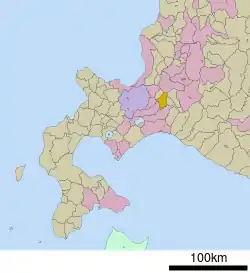 Location of Naganuma in Hokkaido (Sorachi Subprefecture) | |
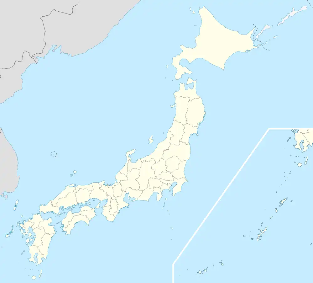 Naganuma Location in Japan | |
| Coordinates: 43°1′N 141°42′E / 43.017°N 141.700°E | |
| Country | Japan |
| Region | Hokkaido |
| Prefecture | Hokkaido (Sorachi Subprefecture) |
| District | Yūbari |
| Area | |
| • Total | 168.36 km2 (65.00 sq mi) |
| Population (September 30, 2016) | |
| • Total | 11,262 |
| • Density | 67/km2 (170/sq mi) |
| Time zone | UTC+09:00 (JST) |
| Website | www |
Naganuma (長沼町, Naganuma-chō) is a town located in Sorachi Subprefecture, Hokkaido, Japan.
As of September 2016, the town has an estimated population of 11,262, and a density of 67 persons per km2. The total area is 168.36 km2.
References
External links
 Media related to Naganuma, Hokkaidō at Wikimedia Commons
- Official Website (in Japanese)
| ||||||||||||
| ||||||||||||
| ||||||||||||
| ||||||||||||
| ||||||||||||
| ||||||||||||
| ||||||||||||
| ||||||||||||
| ||||||||||||
| ||||||||||||
| ||||||||||||
| ||||||||||||
| ||||||||||||
| ||||||||||||
This article is issued from Wikipedia. The text is licensed under Creative Commons - Attribution - Sharealike. Additional terms may apply for the media files.