Qamishli Subdistrict
ناحية مركز القامشلي | |
|---|---|
 Location of Qamishli Subdistrict within al-Hasakah Governorate | |
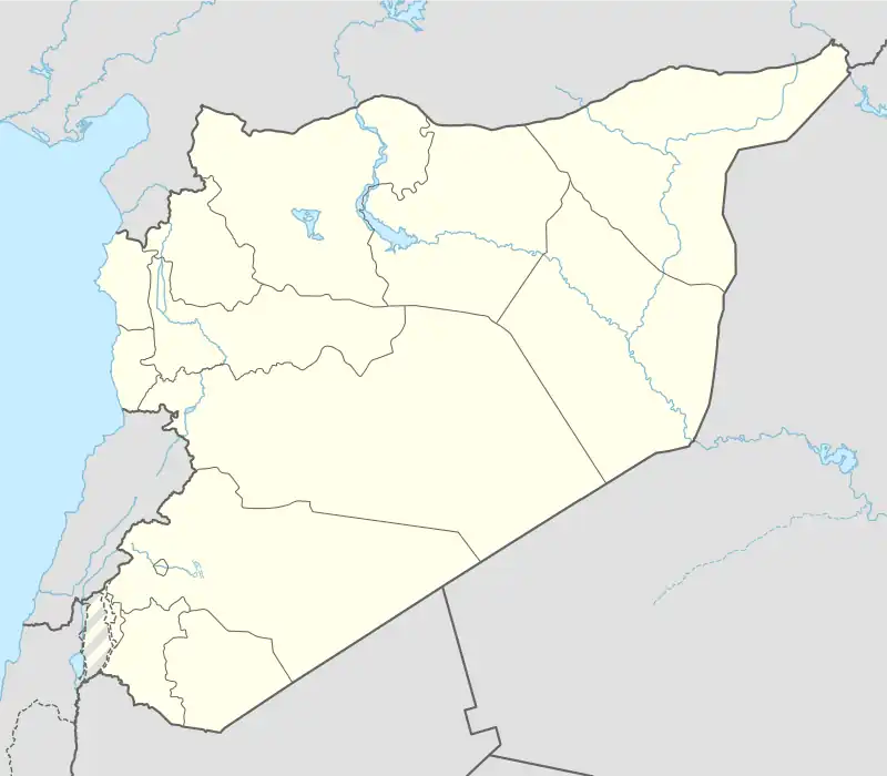 Qamishli Subdistrict Location in Syria | |
| Coordinates (Qamishli): 36°58′03″N 41°13′23″E / 36.9675°N 41.2231°E | |
| Country | |
| Governorate | al-Hasakah |
| District | Qamishli, Al-Hasakah Governorate |
| Seat | Qamishli |
| Area | |
| • Total | 637.27 km2 (246.05 sq mi) |
| Population (2004)[1] | 232,095 |
| Geocode | SY080200 |
Qamishli Subdistrict (Arabic: ناحية مركز القامشلي) is a subdistrict of Qamishli District in northeastern al-Hasakah Governorate, northeastern Syria. Administrative centre is the city of Qamishli.
At the 2004 census, the subdistrict had a population of 232,095.[1]
Cities, towns and villages
| PCode | Name | Population |
|---|---|---|
| C4564 | Qamishli | 184,231 |
| — | Jimaayah | 2,559 |
| — | Hanadi | 2,462 |
| C4575 | Umm al-Fursan | 2,254 |
| C4567 | Kherbet Amu | 1,997 |
| C4569 | Hamou | 1,965 |
| C4542 | Abu Thweil | 1,680 |
| C4543 | Abu Rasin Qamishli | 1,477 |
| C4573 | Tal Odeh Qamishli | 1,423 |
| C4560 | Rehiyeh | 1,299 |
| — | Al-Ayn | 1,230 |
| — | Zebian Qamishli | 1,194 |
| C4572 | Al-Qusayr | 1,185 |
| C4531 | Tal Elthahab Qamishli | 1,086 |
| — | Al-Arbain Aghani | 1,049 |
| C4570 | Safieh Qamishli | 994 |
| C4536 | Kita | 889 |
| C4539 | Dankhiyeh Kabir | 870 |
| C4544 | Dalawiya Kabir | 775 |
| — | Qatana | 764 |
| C4525 | Shamasiyeh | 716 |
| C4574 | Bawe Kabir | 698 |
| — | Al-Bajariyah | 676 |
| C4561 | Tal Eid | 655 |
| — | ? | 623 |
| — | ? | 616 |
| C4555 | Tartab | 606 |
| C4576 | Mluk Sray | 595 |
| C4526 | Hatemiyeh | 586 |
| C4571 | Tall Sattih Gharbi | 568 |
| — | Nimah | 567 |
| C4546 | Takht Elshmasiyeh | 541 |
| — | ? | 520 |
| C4551 | Akula Qamishli | 516 |
| C4565 | Razaza | 480 |
| C4582 | Hayahi | 466 |
| C4541 | Salhiyeh | 461 |
| — | ? | 441 |
| — | ? | 426 |
| — | Hara | 409 |
| C4557 | Buladiyeh | 383 |
| — | Amir | 335 |
| C4538 | Rikabiyeh | 313 |
| — | ? | 310 |
| C4583 | Ghaybi | 296 |
| C4530 | Dudan | 288 |
| C4554 | Jadu | 278 |
| C4534 | Tall Faris | 276 |
| C4558 | Kherbet Daher | 272 |
| — | ? | 271 |
| C4566 | Jermez | 270 |
| C4547 | Umm Jafar Fawqani Kabir | 263 |
| C4550 | Tal Sheer Qamishli | 260 |
| C4580 | Wattutiyeh | 242 |
| C4549 | Dalali | 236 |
| C4553 | Rejm | 233 |
| — | Al-Haram | 231 |
| C4532 | Rashwaniyeh | 210 |
| C4577 | Haram Sheikho | 209 |
| — | Al-Maha | 209 |
| — | Tal Aswad | 208 |
| — | ? | 198 |
| — | Karak | 191 |
| C4568 | Sharq | 188 |
| — | ? | 183 |
| C4563 | Kherbet Antar | 174 |
| C4552 | Abu Jala | 170 |
| C4562 | Upper Barku | 170 |
| C4528 | Ath-Thawrah | 161 |
| C4579 | Maryuza | 157 |
| C4535 | Kherbet Elqdi | 156 |
| — | ? | 156 |
| C4524 | Tuffahiyeh | 154 |
| C4533 | Tal Teir | 153 |
| — | ? | 151 |
| — | Awar | 146 |
| — | ? | 145 |
| C4559 | Tal Elthum | 139 |
| C4529 | Suweidiyah Harb | 128 |
| C4581 | Naqara | 120 |
| C4527 | Suweidiyah Kabir | 119 |
| — | ? | 119 |
| C4556 | Tal Eltiben | 107 |
| — | ? | 105 |
| C4537 | Nejem | 97 |
| C4545 | Kherbet Tami | 81 |
| C4540 | Tal Kif Anz | 80 |
| — | ? | 62 |
| — | ? | 55 |
| C4578 | Haram Hassan | 53 |
| C4548 | Jokha | 18 |
| — | Kherbet Khaled | 17 |
References
- 1 2 "2004 Census Data for Nahiya al-Qamishli" (in Arabic). Syrian Central Bureau of Statistics. Archived from the original on 4 March 2016. Retrieved 15 October 2015. Also available in English: "2004 Census Data". UN OCHA. Retrieved 15 October 2015.
This article is issued from Wikipedia. The text is licensed under Creative Commons - Attribution - Sharealike. Additional terms may apply for the media files.