 | ||||
|---|---|---|---|---|
Map of the National Highway in red | ||||
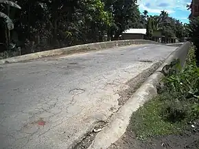 Namdang Stone Bridge built in 1703 carries NH-2 | ||||
| Route information | ||||
| Part of | ||||
| Maintained by NHAI | ||||
| Length | 1,325.6 km (823.7 mi) | |||
| Major junctions | ||||
| North end | ||||
| South end | Tuipang | |||
| Location | ||||
| Country | India | |||
| States | Assam, Nagaland, Manipur, Mizoram | |||
| Primary destinations | Sivasagar, Jhanji, Amguri, Mokokchung, Wokha, Kohima, Imphal, Churachandpur, Sasaram, Seling, Serchhip, Lawngtlai | |||
| Highway system | ||||
| ||||
National Highway 2 is a national highway in India that runs from Dibrugarh in Assam to Tuipang in Mizoram.[1] This national highway passes through the Indian states of Assam, Nagaland, Manipur and Mizoram. This national highway is 1,325.6 km (823.7 mi) long.[2] Before renumbering of national highways, NH-2 was variously numbered as old national highways 37, 61, 39, 150 and 54.[3]
Route description
NH2 connects Dibrugarh, Sivasagar, Amguri, Mokokchung, Wokha, Kohima, Imphal, Churachandpur, Seling, Serchhip, Lawngtlai and Tuipang.[2]
Major intersections
 NH 15 Terminal near Dibrugarh.[2]
 NH 215 near Moranhat
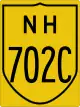 NH 702C near Sivasagar
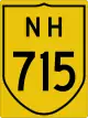 NH 715 near Jhanji.
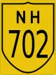 NH 702 near Chantongia.
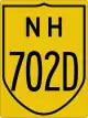 NH 702D near Mokokchung.
 NH 202 near Mokokchung
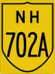 NH 702A near Mokokchung
 NH 29 near Kohima
 NH 102A near Tadubi
 NH 129A near Maram
- NH 202 near Imphal
 NH 102 near Imphal
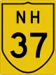 NH 37 near Imphal
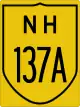 NH 137A near Imphal
 NH 102B near Churachandpur
 NH 306A near Vertek
 NH 6 near Seling
 NH 302 near Theriat
 NH 502A near Lawngtlai
 NH 502 near Venus Saddle
Asian Highways
Imphal to Kohima stretch of National Highway 2 is part of Asian Highway 1 and Asian Highway 2.[4]
See also
References
- ↑ "Rationalization of Numbering Systems of National Highways" (PDF). Govt of India. 28 April 2010. Retrieved 21 August 2011.
- 1 2 3 "State-wise length of National Highways (NH) in India". Ministry of Road Transport and Highways. Retrieved 4 May 2019.
- ↑ "New Numbering of National Highways notification - Government of India" (PDF). The Gazette of India. Retrieved 4 May 2019.
- ↑ "Asian Highway Database - Country wise". UNESCAP. Retrieved 4 May 2019.
External links
Wikimedia Commons has media related to NH 2 (India).


Secondary routes of Indian National Highway 2 | ||
|---|---|---|
| States | | |
| Secondary routes | ||
| Across the whole continent | 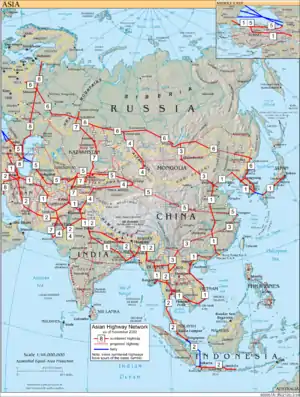 | |
|---|---|---|
| Southeast Asia | ||
| East Asia, Northeast Asia and Southeast Asia | ||
| South Asia | ||
| North Asia, Central Asia and Southwest Asia | ||
This article is issued from Wikipedia. The text is licensed under Creative Commons - Attribution - Sharealike. Additional terms may apply for the media files.