 | ||||
|---|---|---|---|---|
Map of the National Highway in red | ||||
 Himalayan Expressway, part of NH-5 approaching Shivalik hills on the way to Shimla | ||||
| Route information | ||||
| Maintained by NHAI | ||||
| Length | 660.2 km (410.2 mi) | |||
| Major junctions | ||||
| West end | Firozpur | |||
| East end | Shipki La, Sino-Indian border | |||
| Location | ||||
| Country | India | |||
| States | Punjab, Chandigarh, Haryana, Himachal Pradesh | |||
| Primary destinations | Moga, Jagraon, Ludhiana, Mohali, Chandigarh, Panchkula, Kalka, Solan, Shimla, Theog, Narkanda, Kumarsain, Rampur, Chini | |||
| Highway system | ||||
| ||||
National Highway 5 (NH5) is a primary national highway in India, running from West to East, connecting Firozpur in Punjab to the Sino-Indian border at Shipki La. The highway passes through Moga, Jagraon, Ludhiana, Mohali, Chandigarh, Panchkula, Kalka, Solan, Shimla, Theog, Narkanda, Kumarsain, Rampur Bushahr and continues along the Sutlej River till its terminus near the Tibet border.[1]
Route
.jpg.webp)
NH5 traverses the states of Punjab, Haryana, Himachal Pradesh and union territory of Chandigarh in India.[2][3]
Punjab
Firozpur, Moga, Jagraon, Ludhiana, Kharar, Morinda, Mohali - Chandigarh border
Chandigarh
Punjab
Zirakpur - Haryana border
Haryana
Punjab border - Panchkula, Surajpur, Pinjore, Kalka bypass - H.P. border
Himachal Pradesh
Haryana border - Parwanoo, Solan, Shimla, Theog, Narkanda, Kumarsain, Rampur Bushahr, Chini, Shipki La at Sino-Indian border
This section contains the Himalayan Expressway, which was damaged by floods and landslides in 2023. Geologists argue that highway construction had destabilized the slopes and left the area vulnerable to landslides.[4]
Junctions
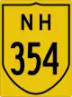 NH 354 near Firozpur.
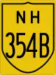 NH 354B near Firozpur
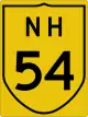 NH 54 near Talwandi Bhai
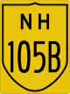 NH 105B near Moga
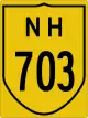 NH 703 near Moga
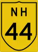 NH 44 near Doraha
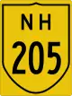 NH 205 near Kharar
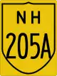 NH 205A near Kharar
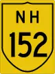 NH 152 near Zirakpur
 NH 7 near Zirakpur
 NH 105 near Pinjore
 NH 907A near Kumarhatti
- NH 205 near Shimla
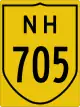 NH 705 near Theog
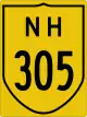 NH 305 near Sainj
 NH 505A near Powari
 NH 505 near Khab.
See also
References
- ↑ "Rationalization of Numbering Systems of National Highways" (PDF). Govt of India. 28 April 2010. Retrieved 21 August 2011.
- ↑ "New Numbering of National Highways notification - Government of India" (PDF). The Gazette of India. Retrieved 2 September 2019.
- ↑ "The List of National Highways in India" (PDF). Ministry of Road Transport and Highways. Retrieved 2 September 2019.
- ↑ "Kalka-Shimla road: many questions on highway construction". The Indian Express. 17 August 2023. Retrieved 17 August 2023.
External links


Secondary routes of Indian National Highway 5 | ||
|---|---|---|
| States | | |
| Secondary routes | ||