Phù Cát district
Huyện Phù Cát | |
|---|---|
 A corner of Ngo May town in Phù Cát District | |
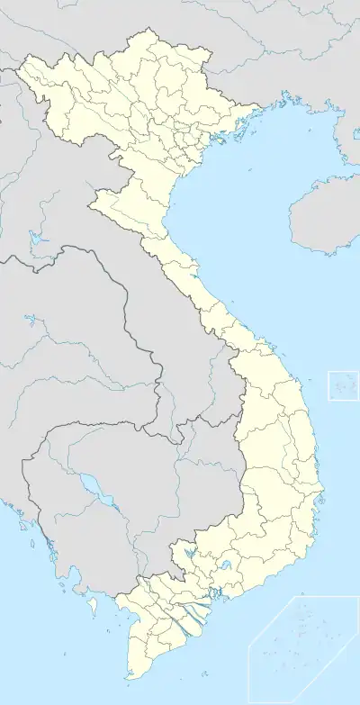 Phù Cát district Location of in Vietnam | |
| Coordinates: 13°59′N 109°3′E / 13.983°N 109.050°E | |
| Country | |
| Region | South Central Coast |
| Province | Bình Định province |
| Capital | Ngô Mây |
| Area | |
| • Total | 680 km2 (260 sq mi) |
| Population (2018)[1] | |
| • Total | 210,300 |
| Time zone | UTC+7 (Indochina Time) |
Phù Cát is a district (huyện) of Bình Định province in the South Central Coast region of Vietnam.
The district capital lies at Ngô Mây.[2]
The district is also home to Phu Cat Airport.
References
- ↑ Bình Định Statistics Office (2010): Bình Định Statistical Yearbook 2009. Statistical Publishing House, Hanoi
- ↑ "Districts of Vietnam". Statoids. Retrieved March 13, 2009.
| Da Nang city |  | |
|---|---|---|
| Bình Định province | ||
| Bình Thuận province | ||
| Khánh Hòa province |
| |
| Ninh Thuận province | ||
| Phú Yên province | ||
| Quảng Nam province | ||
| Quảng Ngãi province | ||
※ denotes provincial seat. / § Sovereignty over the Hoàng Sa and Trường Sa archipelagoes is disputed as of 31 December 2023. | ||
This article is issued from Wikipedia. The text is licensed under Creative Commons - Attribution - Sharealike. Additional terms may apply for the media files.