Rampara (Gir) | |
|---|---|
Village | |
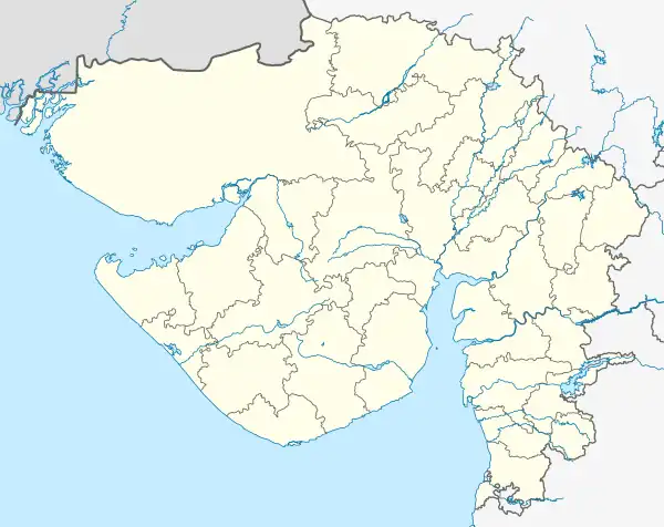 Rampara (Gir) Location in Gujarat, India  Rampara (Gir) Rampara (Gir) (India) | |
| Coordinates: 20°58′34″N 70°38′55″E / 20.97611°N 70.64861°E | |
| Country | India |
| State | Gujarat |
| District | Gir Somnath |
| Elevation | 1,500 m (4,900 ft) |
| Population (Patel) | |
| • Total | 1,178 |
| Languages | |
| • Official | Gujarati (State),[1] Hindi (Federal) |
| Time zone | UTC+5:30 (IST) |
| PIN | 362140 |
| Telephone code | 02876 |
| Vehicle registration | GJ32 |
| Talala (Gir) | Gir Somnath |
| Climate | Dry almost (Köppen) |
| Website | gujaratindia |
Rampara is a village in the area of Talala district Gir Somnath of the state of Gujarat in India. It is surrounded by the Talala-Gir.
References
- ↑ "Ethnologue report for language code: guj". Archive.ethnologue.com. Retrieved 14 December 2014.
This article is issued from Wikipedia. The text is licensed under Creative Commons - Attribution - Sharealike. Additional terms may apply for the media files.