Rohrbach | |
|---|---|
.png.webp) Coat of arms | |
Location of Rohrbach | |
 Rohrbach 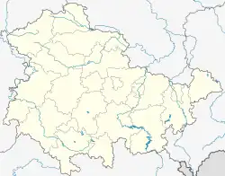 Rohrbach | |
| Coordinates: 51°4′2″N 11°23′58″E / 51.06722°N 11.39944°E | |
| Country | Germany |
| State | Thuringia |
| District | Weimarer Land |
| Municipality | Ilmtal-Weinstraße |
| Area | |
| • Total | 3.47 km2 (1.34 sq mi) |
| Elevation | 250 m (820 ft) |
| Population (2017-12-31) | |
| • Total | 207 |
| • Density | 60/km2 (150/sq mi) |
| Time zone | UTC+01:00 (CET) |
| • Summer (DST) | UTC+02:00 (CEST) |
| Postal codes | 99439 |
| Dialling codes | 036451 |
| Vehicle registration | AP |
Rohrbach (German: [ˈʁoːɐ̯bax] ⓘ) is a village and a former municipality in the Weimarer Land district of Thuringia, Germany. Since 1 January 2019, it is part of the municipality Ilmtal-Weinstraße.
References
This article is issued from Wikipedia. The text is licensed under Creative Commons - Attribution - Sharealike. Additional terms may apply for the media files.