Roßla | |
|---|---|
 Coat of arms | |
Location of Roßla | |
 Roßla 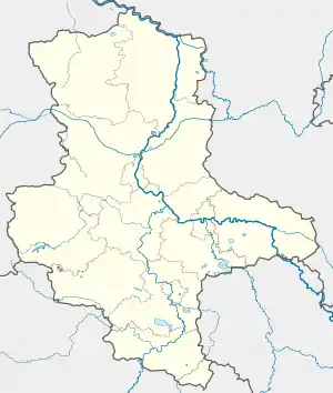 Roßla | |
| Coordinates: 51°27′53″N 11°4′35″E / 51.46472°N 11.07639°E | |
| Country | Germany |
| State | Saxony-Anhalt |
| District | Mansfeld-Südharz |
| Municipality | Südharz |
| Area | |
| • Total | 17.64 km2 (6.81 sq mi) |
| Elevation | 145 m (476 ft) |
| Population (2006-12-31) | |
| • Total | 2,319 |
| • Density | 130/km2 (340/sq mi) |
| Time zone | UTC+01:00 (CET) |
| • Summer (DST) | UTC+02:00 (CEST) |
| Postal codes | 06536 |
| Dialling codes | 034651 |
| Vehicle registration | MSH |
| Website | www.rossla.de |
Roßla (also: Rossla) is a village and a former municipality in the Mansfeld-Südharz district, Saxony-Anhalt, Germany. Since 1 January 2010, it is part of the municipality Südharz. From 1706–1803, Rossla was the seat of Stolberg-Rossla.
External links
![]() Media related to Roßla at Wikimedia Commons
Media related to Roßla at Wikimedia Commons
This article is issued from Wikipedia. The text is licensed under Creative Commons - Attribution - Sharealike. Additional terms may apply for the media files.