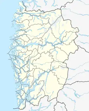
 Rostøya Location of the island 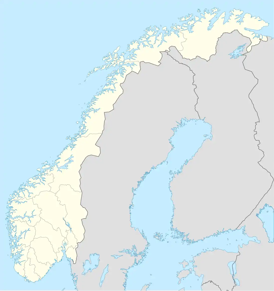 Rostøya Rostøya (Norway) | |
| Geography | |
|---|---|
| Location | Vestland, Norway |
| Coordinates | 60°05′06″N 5°12′21″E / 60.0849°N 5.2057°E |
| Area | 0.68 km2 (0.26 sq mi) |
| Length | 2 km (1.2 mi) |
| Width | 500 m (1600 ft) |
| Coastline | 4.7 km (2.92 mi) |
| Highest elevation | 56 m (184 ft) |
| Administration | |
Norway | |
| County | Vestland |
| Municipality | Austevoll Municipality |
Rostøya or Rostøy is an island in Austevoll municipality in Vestland county, Norway.[1] It is located north of the island of Drøna and west of the island of Huftarøy. The village of Kolbeinsvik lies about 4 kilometres (2.5 mi) south of Rostøya. The island is connected to Huftarøy by a road bridge that crosses the 12-metre (39 ft) wide channel separating the islands.
See also
References
- ↑ "Rostøya, Austevoll (Hordaland)" (in Norwegian). yr.no. Retrieved 2014-12-23.
This article is issued from Wikipedia. The text is licensed under Creative Commons - Attribution - Sharealike. Additional terms may apply for the media files.