Séro Diamanou | |
|---|---|
Commune and town | |
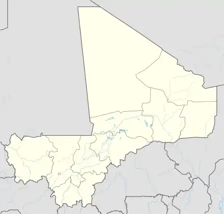 Séro Diamanou Location in Mali | |
| Coordinates: 14°48′40″N 11°3′45″W / 14.81111°N 11.06250°W | |
| Country | |
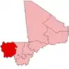
| Region | Kayes Region |
| Cercle | Kayes Cercle |
| Area | |
| • Total | 923 km2 (356 sq mi) |
| Population (2009 census)[2] | |
| • Total | 23,281 |
| Time zone | UTC+0 (GMT) |
Séro or Séro Diamanou is a small town and commune in the Cercle of Kayes in the Kayes Region of southwestern Mali. The commune contains 18 villages and had a population of 23,281 in 2009.
References
- ↑ Plan de Securité Alimentaire Commune Rurale de Séro Diamounou 2007–2011 (PDF) (in French), Commissariat à la Sécurité Alimentaire, République du Mali, USAID-Mali, 2006, archived from the original (PDF) on 2012-04-22.
- ↑ Resultats Provisoires RGPH 2009 (Région de Kayes) (PDF) (in French), République de Mali: Institut National de la Statistique.
This article is issued from Wikipedia. The text is licensed under Creative Commons - Attribution - Sharealike. Additional terms may apply for the media files.