Shoal Lake 34B2 | |
|---|---|
| Shoal Lake Indian Reserve No. 34B2 | |
 Shoal Lake 34B2 | |
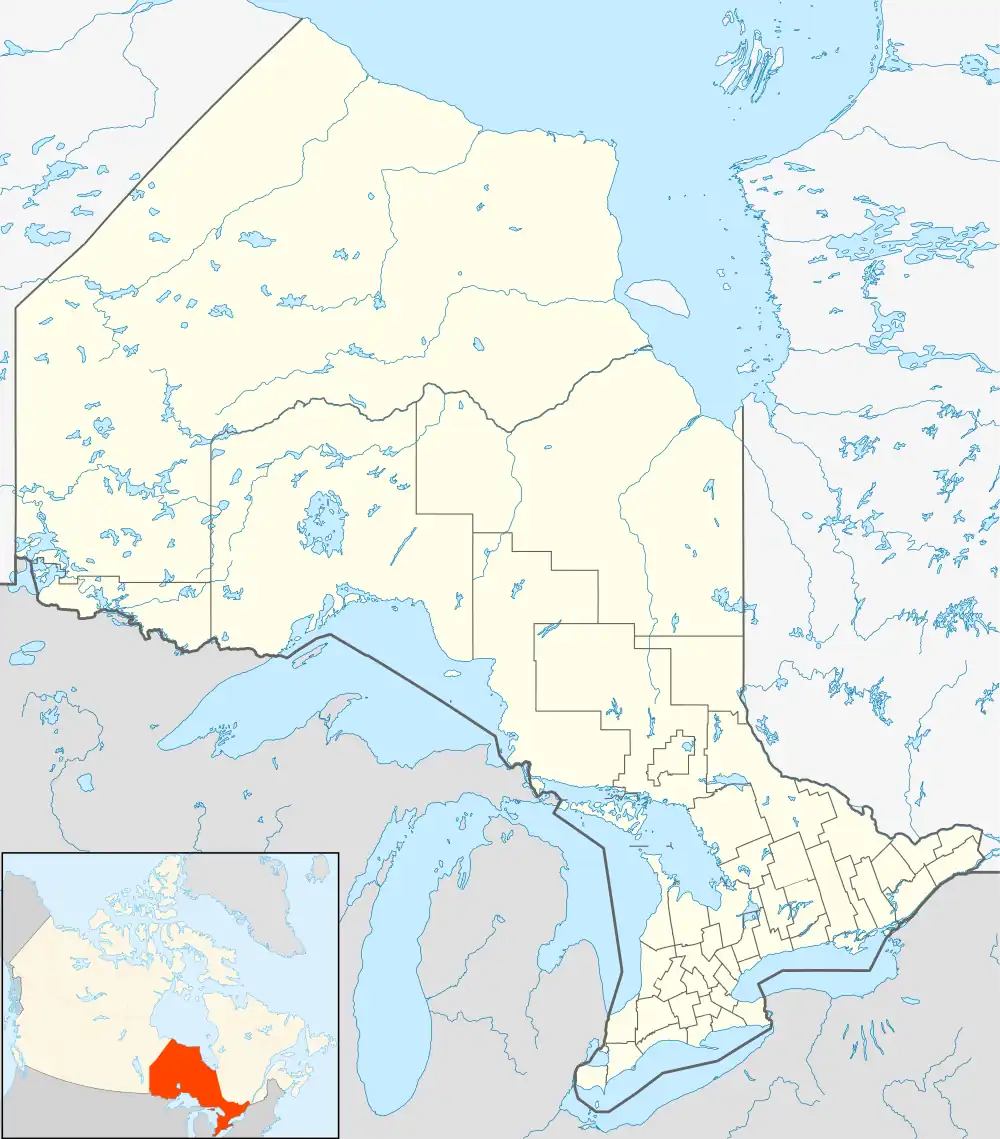
| Coordinates: 49°36′N 95°07′W / 49.600°N 95.117°W | |
| Country | |
| Province | |
| District | Kenora |
| First Nations | Iskatewizaagegan 39, Shoal Lake 40 |
| Area | |
| • Land | 1.73 km2 (0.67 sq mi) |
| Population (2011)[1] | |
| • Total | 97 |
| • Density | 56.2/km2 (146/sq mi) |
| Website | www.sl40.ca |
Shoal Lake 34B2 is a First Nations reserve on the shores of Shoal Lake in northwestern Ontario. It is shared between the Iskatewizaagegan 39 Independent First Nation and Shoal Lake 40 First Nation.
References
- 1 2 "Shoal Lake 34B2 census profile". 2011 Census of Population. Statistics Canada. 8 February 2012. Retrieved 22 June 2015.
Places adjacent to Shoal Lake 34B2 | |
|---|---|
This article is issued from Wikipedia. The text is licensed under Creative Commons - Attribution - Sharealike. Additional terms may apply for the media files.