Tó | |
|---|---|
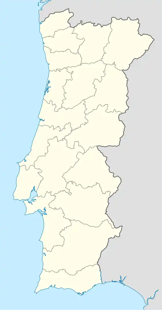 Tó Location in Portugal | |
| Coordinates: 41°19′27″N 6°33′58″W / 41.32417°N 6.56611°W | |
| Country | |
| Region | Norte |
| Intermunic. comm. | Terras de Trás-os-Montes |
| District | Bragança |
| Municipality | Mogadouro |
| Area | |
| • Total | 23.69 km2 (9.15 sq mi) |
| Population (2011) | |
| • Total | 154 |
| • Density | 6.5/km2 (17/sq mi) |
| Time zone | UTC±00:00 (WET) |
| • Summer (DST) | UTC+01:00 (WEST) |
Tó is a civil parish in the municipality of Mogadouro, Portugal, with 23.66 km² of surface and 154 inhabitants in the year 2011.
Population
| Population of the Tó parish [1] | ||||||||||||||
|---|---|---|---|---|---|---|---|---|---|---|---|---|---|---|
| 1864 | 1878 | 1890 | 1900 | 1911 | 1920 | 1930 | 1940 | 1950 | 1960 | 1970 | 1981 | 1991 | 2001 | 2011 |
| 458 | 473 | 431 | 494 | 499 | 409 | 377 | 429 | 514 | 535 | 340 | 349 | 264 | 209 | 154 |
 Evolution of the population of Tó 1864/2011
 Variation of the population of Tó 1864/2011
 The population in 2001
 The population in 2011
References
- ↑ Instituto Nacional de Estatística (Recenseamentos Gerais da População) - https://www.ine.pt/xportal/xmain?xpid=INE&xpgid=ine_publicacoes
This article is issued from Wikipedia. The text is licensed under Creative Commons - Attribution - Sharealike. Additional terms may apply for the media files.