| Tampok | |
|---|---|
 | |
| Location | |
| Country | France |
| Region | French Guiana |
| Physical characteristics | |
| Mouth | Lawa |
• coordinates | 3°27′04″N 53°59′57″W / 3.4511°N 53.9992°W |
| Length | 268 km (167 mi) |
| Basin features | |
| Progression | Lawa→ Maroni→ Atlantic Ocean |
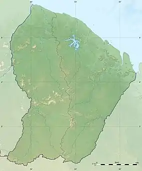
The Tampok is a right tributary of the river Lawa (the upper course of the Maroni) in western French Guiana.[1] It is 268 km (167 mi) long.[2]
References
This article is issued from Wikipedia. The text is licensed under Creative Commons - Attribution - Sharealike. Additional terms may apply for the media files.