| Tadiandamol | |
|---|---|
 Sholas grassland viewed from Tadiandamol peak | |
| Highest point | |
| Elevation | 1,748 m (5,735 ft) |
| Coordinates | 12°13′3.2308″N 75°36′31.7340″E / 12.217564111°N 75.608815000°E |
| Geography | |
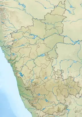 Tadiandamol Location of Tadiandamol, Karnataka 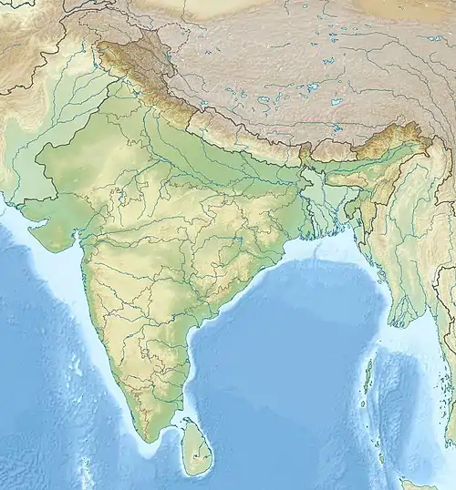 Tadiandamol Tadiandamol (India) | |
| Location | Madikeri Taluk , Kodagu District, Karnataka, India |
| Parent range | Western Ghats |
| Climbing | |
| Easiest route | Hike |
Tadiandamol or Thadiyandamol is the highest mountain of Madikeri taluk Kodagu district, Karnataka, India. It is the third highest peak in Karnataka, after Mullayyanagiri & Kudremukha.[1] It is located Western Ghats range, and reaches an elevation of 1,748 m. The mountain has patches of shola forests in the valleys.
The Nalaknad (also known as Nalnad - meaning 4 villages) palace at the foothills is an important historical landmark. This was one of the landmarks mapped during the Great Trigonometric Survey.
It is a place of interest for trekkers and naturalists. The climb to the top and back can be completed as a day hike(within 5hrs); camping is banned since December 2016.
Etymology
The name Tadiandamol literally means largest base (thadi = broad, large, huge; anda = belonging to (possessive) in Kodava; mol = hill, base, peak). It loosely means Tallest Mount,[2] and the name also could translate as Broad Hill.[3]
Gallery
 View from Tadiandamol Peak during august end
 View from Tadiandamol Peak
 Greenery seen from Tadiandamol Peak
 View From Second Topmost hill during Tadiandamol trekking
 checkpost and starting point of Tadiandamol Trek
 checkpost and starting point of Tadiandamol Trek pic 2
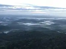 Tadiandamol Trekking starting point view from Resort
 Tadiandamol Trek View from 2nd viewpoint
See also
References
- ↑ "Trekking These Highest Karnataka Peaks Will Make Your Friends Envy".
- ↑ "Codagu.org".
- ↑ Surendra Rao, B. (1998). "Google books".
External links
 Media related to Tadiandamol at Wikimedia Commons