| Tuctu | |
|---|---|
 Tuctu Peru | |
| Highest point | |
| Elevation | 5,000 m (16,000 ft) |
| Coordinates | 9°37′28″S 77°16′48″W / 9.62444°S 77.28000°W |
| Geography | |
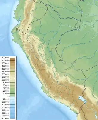
| Location | Peru, Ancash Region |
| Parent range | Andes, Cordillera Blanca |
Tuctu[1] (possibly from Quechua for "broody hen")[2] is a mountain in the Cordillera Blanca in the Andes of Peru, about 5,000 metres (16,404 ft) high.[1] It is situated in the Ancash Region, Huaraz Province, Olleros District, and in the Huari Province, Chavin de Huantar District.[3] It lies southeast of Arhuay, Uruashraju and Tuctopunta.[1][3]
References
- 1 2 3 Peru 1:100 000, Recuay (20-i). IGN (Instituto Geográfico Nacional - Perú).
- ↑ Teofilo Laime Ajacopa (2007). Diccionario Bilingüe: Iskay simipi yuyayk’anch: Quechua – Castellano / Castellano – Quechua (PDF). La Paz, Bolivia: futatraw.ourproject.org.
- 1 2 escale.minedu.gob.pe - UGEL map of the Huaraz Province (Ancash Region)
This article is issued from Wikipedia. The text is licensed under Creative Commons - Attribution - Sharealike. Additional terms may apply for the media files.