Wahlstorf | |
|---|---|
 Church | |
Location of Wahlstorf | |
 Wahlstorf 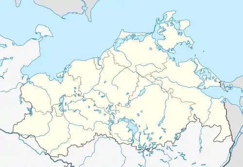 Wahlstorf | |
| Coordinates: 53°22′N 12°05′E / 53.367°N 12.083°E | |
| Country | Germany |
| State | Mecklenburg-Vorpommern |
| District | Ludwigslust-Parchim |
| Municipality | Gehlsbach |
| Area | |
| • Total | 12.46 km2 (4.81 sq mi) |
| Elevation | 63 m (207 ft) |
| Population (2012-12-31) | |
| • Total | 153 |
| • Density | 12/km2 (32/sq mi) |
| Time zone | UTC+01:00 (CET) |
| • Summer (DST) | UTC+02:00 (CEST) |
| Postal codes | 19386 |
| Dialling codes | 038733 |
| Vehicle registration | PCH |
| Website | Amt Eldenburg Lübz |
Wahlstorf is a village and a former municipality in the Ludwigslust-Parchim district, in Mecklenburg-Vorpommern, Germany. Since 1 January 2014, it has been part of the municipality Gehlsbach.
References
This article is issued from Wikipedia. The text is licensed under Creative Commons - Attribution - Sharealike. Additional terms may apply for the media files.