Wischroda | |
|---|---|
Location of Wischroda | |
 Wischroda 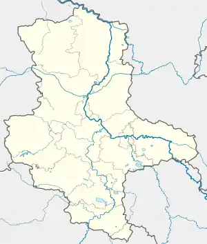 Wischroda | |
| Coordinates: 51°10′N 11°33′E / 51.167°N 11.550°E | |
| Country | Germany |
| State | Saxony-Anhalt |
| District | Burgenlandkreis |
| Town | An der Poststraße |
| Area | |
| • Total | 12.96 km2 (5.00 sq mi) |
| Elevation | 269 m (883 ft) |
| Population (2006-12-31) | |
| • Total | 496 |
| • Density | 38/km2 (99/sq mi) |
| Time zone | UTC+01:00 (CET) |
| • Summer (DST) | UTC+02:00 (CEST) |
| Postal codes | 06647 |
| Dialling codes | 034467 |
| Website | www.vgem-finne.de |
Wischroda is a village and a former municipality in the Burgenlandkreis district, in Saxony-Anhalt, Germany. Since 1 July 2009, it is part of the municipality An der Poststraße.
This article is issued from Wikipedia. The text is licensed under Creative Commons - Attribution - Sharealike. Additional terms may apply for the media files.