Zirapur tehsil | |
|---|---|
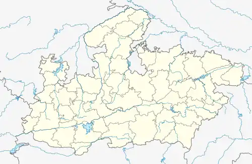 Zirapur tehsil Location in Madhya Pradesh  Zirapur tehsil Zirapur tehsil (India) | |
| Coordinates: 24°01′N 76°23′E / 24.02°N 76.38°E | |
| Country | |
| State | Madhya Pradesh |
| District | Rajgarh district |
| Government | |
| • Type | Janpad Panchayat |
| • Body | Council |
| Area | |
| • Total | 845.36 km2 (326.40 sq mi) |
| Population (2011)[1] | |
| • Total | 199,675 |
| Languages | |
| • Official | Hindi |
| Time zone | UTC+5:30 (IST) |
| Postal code (PIN) | 465691 |
| ISO 3166 code | MP-IN |
Zirapur is a tehsil in Rajgarh district, Madhya Pradesh, India.[1][2][3]
Demographics
As of the 2011 census of India, it had a population of 199,675 across 220 villages.[1]
References
- 1 2 3 4 "District Rajgarh - Tehsils". Retrieved 11 May 2023.
- ↑ "Census of India 2011: Data from the 2011 Census, including cities, villages and towns (Provisional)". Census Commission of India.
- ↑ "Census of India 2011". Census Commission of India.
This article is issued from Wikipedia. The text is licensed under Creative Commons - Attribution - Sharealike. Additional terms may apply for the media files.