Alajuelita | |
|---|---|
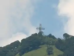
 Alajuelita Cross, was illuminated and visible from most of the Central Valley | |
 Flag  Seal | |
Alajuelita canton | |
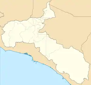
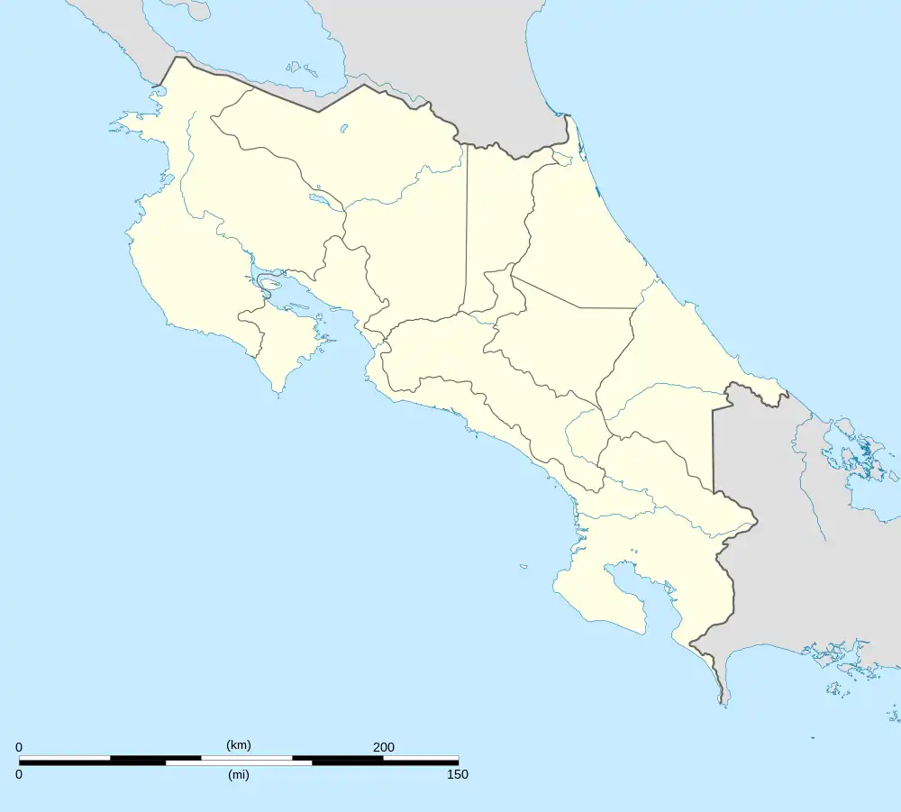
 Alajuelita Alajuelita canton location in San José Province  Alajuelita Alajuelita canton location in Costa Rica | |
| Coordinates: 9°53′20″N 84°06′55″W / 9.8890038°N 84.1151684°W | |
| Country | |
| Province | San José |
| Creation | 4 June 1909[1] |
| Head city | Alajuelita |
| Districts | |
| Government | |
| • Type | Municipality |
| • Body | Municipalidad de Alajuelita |
| • Mayor | Modesto Alpízar Luna (PNG) |
| Area | |
| • Total | 21.17 km2 (8.17 sq mi) |
| Elevation | 1,194 m (3,917 ft) |
| Population (2011) | |
| • Total | 77,603 |
| • Density | 3,700/km2 (9,500/sq mi) |
| Time zone | UTC−06:00 |
| Canton code | 110 |
| Website | munialajuelita |
Alajuelita is a canton in the San José province of Costa Rica.[2][3]
History
Alajuelita was created on 4 June 1909 by decree 58.[3] The first settlements in the area occurred by 1650. The name "Alajuelita" comes from a diminutive form of the name of Alajuela Province due to original settlers coming from that province.
Geography
Alajuelita has an area of 21.17 km²[4] and a mean elevation of 1,194 metres.[2]
The odd-shaped canton reaches southwest from the suburbs of the national capital city of San José. It is delineated by the Tiribí River on the northeast, Cañas River on the east, Poás River on the southeast, and the Cerros de Escazú at it far southwestern end. The Santuario Nacional Santo Cristo de Esquipulas is located in this canton[5] along with the San Miguel Hill, whose metallic cross built at its peak is definitely one of the more beloved landmarks in Costa Rican Central Region.[6]
Districts
The canton of Alajuelita is subdivided into the following districts:
Demographics
| Historical population | |||
|---|---|---|---|
| Census | Pop. | %± | |
| 1927 | 2,571 | — | |
| 1950 | 3,920 | 52.5% | |
| 1963 | 10,848 | 176.7% | |
| 1973 | 23,013 | 112.1% | |
| 1984 | 31,390 | 36.4% | |
| 2000 | 70,297 | 123.9% | |
| 2011 | 77,603 | 10.4% | |
|
Instituto Nacional de Estadística y Censos[7] |
|||
For the 2011 census, Alajuelita had a population of 77,603 inhabitants.[9]
Education
- Escuela San Felipe, founded 1966
Transportation
Road transportation
The canton is covered by the following road routes:
References
- ↑ Hernández, Hermógenes (1985). Costa Rica: evolución territorial y principales censos de población 1502 - 1984 (in Spanish) (1 ed.). San José: Editorial Universidad Estatal a Distancia. pp. 164–173. ISBN 9977-64-243-5. Retrieved 5 October 2020.
- 1 2 "Declara oficial para efectos administrativos, la aprobación de la División Territorial Administrativa de la República N°41548-MGP". Sistema Costarricense de Información Jurídica (in Spanish). 19 March 2019. Retrieved 26 September 2020.
- 1 2 División Territorial Administrativa de la República de Costa Rica (PDF) (in Spanish). Editorial Digital de la Imprenta Nacional. 8 March 2017. ISBN 978-9977-58-477-5.
- ↑ "Área en kilómetros cuadrados, según provincia, cantón y distrito administrativo". Instituto Nacional de Estadística y Censos (in Spanish). Archived from the original on 24 October 2020. Retrieved 26 September 2020.
- ↑ "Santuario Nacional Santo Cristo de Esquipulas". 11 October 2017.
- ↑ "La cruz del cerro San Miguel en Alajuelita" (PDF). kerwa.ucr.ac.cr (in Spanish). Retrieved 13 May 2023.
- ↑ "Instituto Nacional de Estadística y Censos" (in Spanish).
- ↑ "Sistema de Consulta de a Bases de Datos Estadísticas". Centro Centroamericano de Población (in Spanish).
- ↑ "Censo. 2011. Población total por zona y sexo, según provincia, cantón y distrito". Instituto Nacional de Estadística y Censos (in Spanish). Retrieved 26 September 2020.