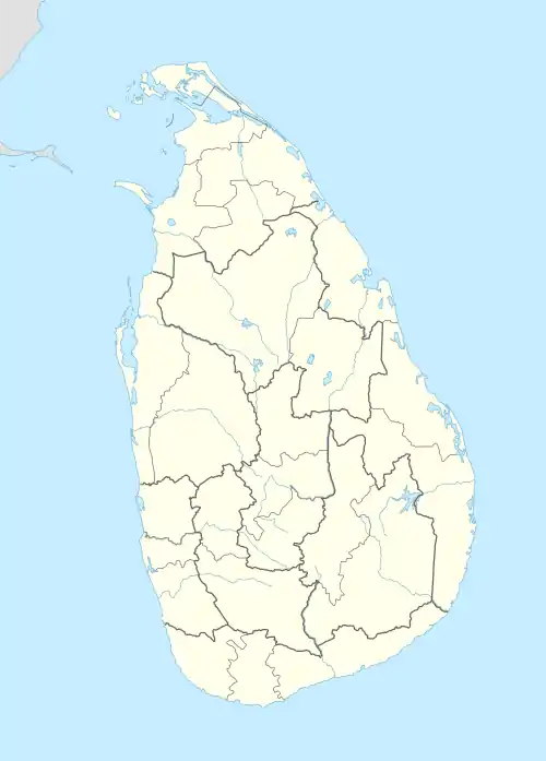
Alutgama | |
|---|---|
Village | |
 Alutgama | |
| Coordinates: 7°32′08″N 80°35′38″E / 7.5355°N 80.5938°E[1] | |
| Country | |
| Province | Central Province |
| District | Matale District |
| Divisional secretariat | Yatawatta Divisional Secretariat |
| Time zone | UTC+5:30 (Sri Lanka Standard Time) |
Alutgama is a village within Matale District, Central Province, Sri Lanka. It is located south from Yatawatta and north of Matale.
History
A historic vihāra is located in Alutgama. The village inhabitants were "Vellalas, Fishers, Hangarammu, Blacksmiths, [and] Tamils", as recorded in Archibald Campbell Lawrie's 1896 gazetteer of the province. Low-country Sinhalese and Moormen were also recorded to own land.[2]
Demographics
| Historical population | |||
|---|---|---|---|
| Census | Pop. | Ref. | |
| 1881 | 217 | [2] | |
| 1891 | 185 | [2] | |
See also
References
- ↑ "Alutgama". GEOnet Names Server. Retrieved 2012-09-14.
- 1 2 3 Lawrie, Archibald Campbell (1896). A Gazetteer of the Central Province of Ceylon (excluding Walapane). State Print. Corporation. p. 21. Retrieved 19 September 2023.
External links
This article is issued from Wikipedia. The text is licensed under Creative Commons - Attribution - Sharealike. Additional terms may apply for the media files.