Ambapani | |
|---|---|
Township | |
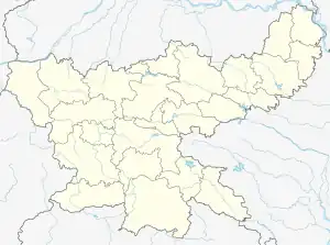
 Ambapani Location in Jharkhand, India  Ambapani Ambapani (India) | |
| Coordinates: 22°37′N 84°31′E / 22.62°N 84.52°E | |
| Country | |
| State | Jharkhand |
| District | Simdega |
| Elevation | 452 m (1,483 ft) |
| Population (2011) | |
| • Total | 1,321 |
| Languages | |
| • Official | Hindi |
| Time zone | UTC+5:30 (IST) |
| PIN | 835226 |
| Telephone code | +91-06525-XXXXXX |
| Vehicle registration | JH |
| Sex Ratio | 904:1000 ♂/♀ |
| Website | simdega |
Ambapani is a small village/hamlet in Thethaitangar block, Simdega District, Jharkhand state, India. It comes under Ambapani panchayat. It is located 21 kilometres (13 mi) south of the district headquarters at Simdega, 9 kilometres (5.6 mi) from Thethaitanger and 150 kilometres (93 mi) from the state capital of Ranchi.
History
Geography
Taraboga (9 km), Rajabasa (11 km), Ghutbahar (14 km), Tukupani (15 km), Meromdega (15 km) are the villages situated near Ambapani. It is surrounded by Bolba Block to its west, Bansjore Block to its east, Biramitrapur Block to its east and Simdega Block to its north.
Simdega, Biramitrapur, Rajagangapur and Raurkela are the nearby cities.
References
This article is issued from Wikipedia. The text is licensed under Creative Commons - Attribution - Sharealike. Additional terms may apply for the media files.