Dudswell | |
|---|---|
.jpg.webp) L'église Saint-Adolphe, Dudswell and the Notre Dame Mountains | |
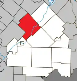 Location within Le Haut-Saint-François RCM | |
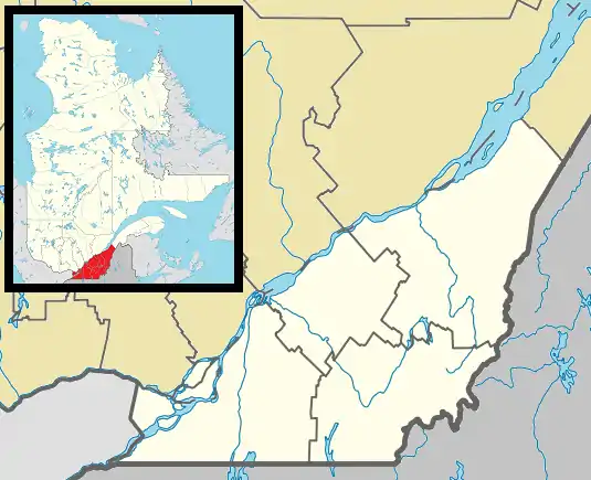 Dudswell Location in southern Quebec | |
| Coordinates: 45°35′N 71°35′W / 45.583°N 71.583°W[1] | |
| Country | Canada |
| Province | Quebec |
| Region | Estrie |
| RCM | Le Haut-Saint-François |
| Constituted | October 11, 1995 |
| Government | |
| • Mayor | Claude Corriveau |
| • Federal riding | Compton—Stanstead |
| • Prov. riding | Mégantic |
| Area | |
| • Total | 223.70 km2 (86.37 sq mi) |
| • Land | 219.08 km2 (84.59 sq mi) |
| Population | |
| • Total | 1,771 |
| • Density | 8.1/km2 (21/sq mi) |
| • Pop 2006-2011 | |
| Time zone | UTC−5 (EST) |
| • Summer (DST) | UTC−4 (EDT) |
| Area code | 819 |
| Highways | |
Dudswell is a municipality of 1,600 people in Le Haut-Saint-François Regional County Municipality, in Quebec, Canada.

St. Paul's Anglican Church in the Marbleton sector of Dudswell.
References
- ↑ "Banque de noms de lieux du Québec: Reference number 308937". toponymie.gouv.qc.ca (in French). Commission de toponymie du Québec.
- 1 2 "Répertoire des municipalités: Geographic code 41117". www.mamh.gouv.qc.ca (in French). Ministère des Affaires municipales et de l'Habitation.
- 1 2 "Dudswell, Quebec (Code 2441117) Census Profile". 2011 census. Government of Canada - Statistics Canada.
Notable residents
- Ralph Gustafson (1909-1995), poet and professor of literature at Bishop's University
- Eva Tanguay (1878-1947), singer, comedienne, vaudevillian and early example of 20th century celebrity culture
- Robert Atkinson Davis, 4th premier of Manitoba.
External links
 Media related to Dudswell, Quebec at Wikimedia Commons
Places adjacent to Dudswell, Quebec | |
|---|---|
| Cities & Towns | |
|---|---|
| Municipalities | |
| Townships | |
| |
This article is issued from Wikipedia. The text is licensed under Creative Commons - Attribution - Sharealike. Additional terms may apply for the media files.