Poiana Stampei
German: Pojana Stampi | |
|---|---|
.JPG.webp) The town hall of Poiana Stampei | |
 Coat of arms | |
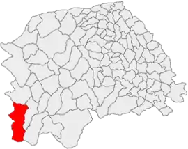
 Location in Suceava County | |
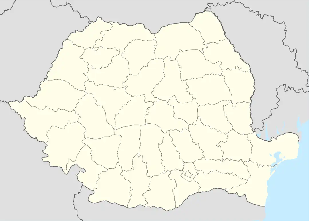
 Poiana Stampei Location in Romania | |
| Coordinates: 47°19′N 25°8′E / 47.317°N 25.133°E | |
| Country | Romania |
| County | Suceava |
| Population (2021-12-01)[1] | 2,119 |
| Time zone | EET/EEST (UTC+2/+3) |
| Vehicle reg. | SV |
Poiana Stampei (German: Pojana Stampi) is a commune located in Suceava County, in the historical region of Bukovina, northeastern Romania. It is composed of seven villages, namely: Căsoi, Dornișoara, Pilugani, Poiana Stampei, Prăleni, Tătaru, and Teșna. Crossed by European route E58, it is located on the old border between Moldavia and Transylvania, on the southern ridges of the historical region of Bukovina. Poiana Stampei was first mentioned in documents in 1593, during the reign of Moldavian Prince Aaron the Tyrant.
In the past, the commune was inhabited by a small German minority, more specifically by Bukovina Germans. At the 1930 Romanian census, the Bukovina German minority of Poiana Stampei accounted for 4.15% of the total population of the commune.
In addition, Poiana Stampei is part of the Via Transilvanica long-distance trail.[2]
Gallery
.JPG.webp) Local village museum in Poiana Stampei
Local village museum in Poiana Stampei.JPG.webp) Podu Coșnei monastery, Romanian Orthodox church in Poiana Stampei
Podu Coșnei monastery, Romanian Orthodox church in Poiana Stampei.JPG.webp) Podu Coșnei monastery, Romanian Orthodox church in Poiana Stampei
Podu Coșnei monastery, Romanian Orthodox church in Poiana Stampei
References
- ↑ "Populaţia rezidentă după grupa de vârstă, pe județe și municipii, orașe, comune, la 1 decembrie 2021" (XLS). National Institute of Statistics.
- ↑ "Bucovina | Via Transilvanica". www.viatransilvanica.com. Retrieved 2023-08-10.
