| Ch'iyar Quta | |
|---|---|
 Ch'iyar Quta (Nor Lípez)  Ch'iyar Quta (Nor Lípez) | |
| Location | Bolivia, Potosí Department, Nor Lípez Province |
| Coordinates | 21°35′20″S 68°3′50″W / 21.58889°S 68.06389°W |
| Surface elevation | 4,201 m (13,783 ft) |
| References | [1] |
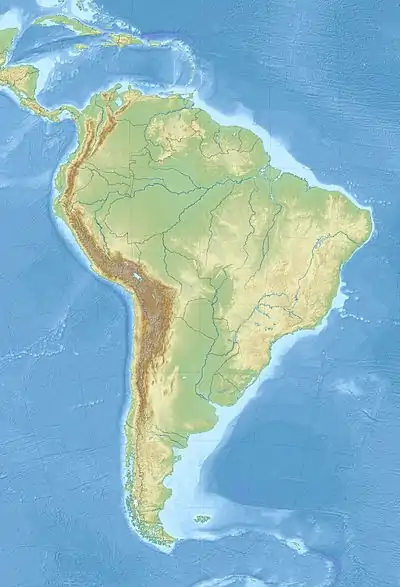
Ch'iyar Quta (Aymara ch'iyara black, quta lake,[2] "black lake", hispanicized spellings Chiar Kkota, Chiar Khota, Chiar Kota) is a Bolivian lake located in the San Pedro de Quemes Municipality, Nor Lípez Province of the Potosí Department near the border to Chile. It is situated at a height of about 4,201 meters (13,783 feet) south west of Laguna Hedionda and east of Mount Araral.[3]

See also
References
- ↑ mapcarta.com
- ↑ www.katari.org Ch'iyara (adj.) - Color negro. Quta (s.) - Lago.
- ↑ Sunrise Sunset Times of Ch'iyar Quta, Bolivia,Maplogs,com 2022
This article is issued from Wikipedia. The text is licensed under Creative Commons - Attribution - Sharealike. Additional terms may apply for the media files.