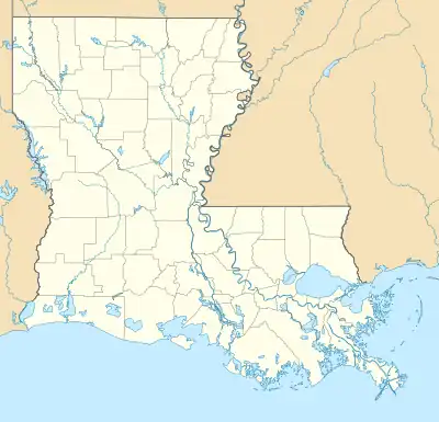
Chackbay, Louisiana | |
|---|---|
 Chackbay Location in Louisiana  Chackbay Location in the United States | |
| Coordinates: 29°53′9″N 90°47′27″W / 29.88583°N 90.79083°W | |
| Country | United States |
| State | Louisiana |
| Parish | Lafourche |
| Area | |
| • Total | 27.75 sq mi (71.86 km2) |
| • Land | 27.75 sq mi (71.86 km2) |
| • Water | 0.00 sq mi (0.00 km2) |
| Elevation | 7 ft (2 m) |
| Population (2020) | |
| • Total | 5,370 |
| • Density | 193.54/sq mi (74.73/km2) |
| Time zone | UTC-6 (CST) |
| • Summer (DST) | UTC-5 (CDT) |
| Area code | 985 |
| FIPS code | 22-14100 |
Chackbay is a census-designated place (CDP) in northern Lafourche Parish, Louisiana, United States. The population was 5,370 in 2020. It is part of the Houma–Bayou Cane–Thibodaux metropolitan statistical area.
Chackbay is a part of the "Ward 6" area of Lafourche Parish.[2]
Geography
Chackbay is located along the northern edge of Lafourche Parish at 29°53′9″N 90°47′27″W / 29.88583°N 90.79083°W.[3] Its northern boundary is the border with St. James Parish.
Settlement follows the major roads through the community, which follow higher ground. Large areas away from the roads are wetland and mainly undeveloped. Louisiana Highway 20 runs through the western part of the CDP, leading south 7 miles (11 km) to Thibodaux, the parish seat, and northeast 13 miles (21 km) to Vacherie. Highway 304 runs west and southwest from Highway 20 to Bayou Lafourche west of Thibodaux, and Highway 307 runs east to Kraemer. Unincorporated communities within the Chackbay CDP are, from west to east, Choupique, Chegby, and Chackbay.
According to the United States Census Bureau, the Chackbay CDP has a total area of 28.5 square miles (73.9 km2), all of it recorded as land.[4]
Demographics
| Census | Pop. | Note | %± |
|---|---|---|---|
| 2020 | 5,370 | — | |
| U.S. Decennial Census[5] | |||
| Race | Number | Percentage |
|---|---|---|
| White (non-Hispanic) | 4,742 | 88.31% |
| Black or African American (non-Hispanic) | 245 | 4.56% |
| Native American | 28 | 0.52% |
| Asian | 20 | 0.37% |
| Other/Mixed | 161 | 3.0% |
| Hispanic or Latino | 174 | 3.24% |
As of the 2020 United States census, there were 5,370 people, 2,003 households, and 1,564 families residing in the CDP.
Education
Lafourche Parish Public Schools operates public schools. Chackbay Elementary School serves the community.[7] Sixth Ward Middle School and Thibodaux High School serve residents of the Ward 6 area.[8][9]
Government and infrastructure
Residents are served by the Ward 6 Senior Citizens Center.[10]
Notable people
- Dee Dee Blanchard, homicide victim
- Billy Tauzin, US congressman who lived in Clarks Summit while he was in office.[11]
References
- ↑ "2020 U.S. Gazetteer Files". United States Census Bureau. Retrieved March 20, 2022.
- ↑ "Chackbay 101 Pump Station." Lafourche Parish. Retrieved on December 2, 2016.
- ↑ "US Gazetteer files: 2010, 2000, and 1990". United States Census Bureau. February 12, 2011. Retrieved April 23, 2011.
- ↑ "U.S. Gazetteer Files: 2019: Places: Louisiana". U.S. Census Bureau Geography Division. Retrieved February 19, 2020.
- ↑ "Census of Population and Housing". Census.gov. Retrieved June 4, 2016.
- ↑ "Explore Census Data". data.census.gov. Retrieved December 28, 2021.
- ↑ Home. Chackbay Elementary School. Retrieved on November 30, 2016.
- ↑ "SCHOOL ATTENDANCE BOUNDARIES Archived 2016-12-02 at the Wayback Machine." Lafourche Parish Public Schools. Retrieved on December 2, 2016. Based on the text description of the school boundaries
- ↑ "2010 CENSUS - CENSUS BLOCK MAP: Chackbay CDP, LA." U.S. Census Bureau. Retrieved on February 7, 2018.
- ↑ Legendre, Raymond (January 9, 2009). "Senior center's walking trail has tire tracks". The Daily Comet. Archived from the original on December 1, 2015. Retrieved December 3, 2016.
- ↑ Barone, Michael; and Ujifusa, Grant. The Almanac of American Politics 1988', p. 494. National Journal, 1987.
