Columbus Airport | |||||||||||||||
|---|---|---|---|---|---|---|---|---|---|---|---|---|---|---|---|
| Summary | |||||||||||||||
| Airport type | Public | ||||||||||||||
| Owner | Columbus Airport Commission | ||||||||||||||
| Serves | Columbus, Georgia | ||||||||||||||
| Elevation AMSL | 397 ft / 121 m | ||||||||||||||
| Coordinates | 32°30′59″N 084°56′20″W / 32.51639°N 84.93889°W | ||||||||||||||
| Website | www.FlyColumbusGA.com | ||||||||||||||
| Map | |||||||||||||||
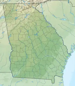
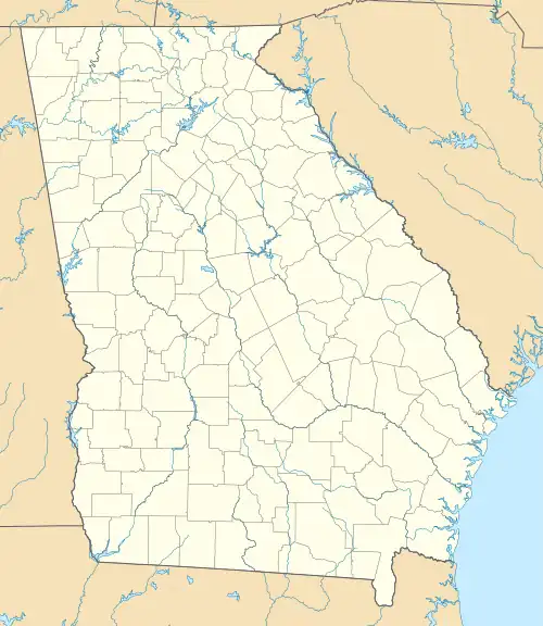
 CSG  CSG | |||||||||||||||
| Runways | |||||||||||||||
| |||||||||||||||
| Statistics (2022) | |||||||||||||||
| |||||||||||||||
Columbus Airport[1] (IATA: CSG, ICAO: KCSG, FAA LID: CSG) (formerly Columbus Metropolitan Airport) is four miles northeast of Columbus, in Muscogee County, Georgia, United States.[2] Serving Georgia's second largest city, it is Georgia's fourth busiest airport.
FAA records say the airport had 51,288 passenger boardings (enplanements) in calendar year 2008,[4] 48,526 in 2009 and 63,726 in 2010.[5] The National Plan of Integrated Airport Systems for 2011–2015 categorized it as a primary commercial service airport (more than 10,000 enplanements per year).[6]
Eastern Airlines flights began about 1944, Delta arrived in 1947 and Southern in 1949; Eastern and Southern pulled out in 1979 and Delta's last mainline flights were in 1995–96.
In 1968 Southern was allowed to start nonstop DC-9s Columbus to Dulles International Airport outside of Washington, D.C., three a day, all continuing to LaGuardia Airport in New York City. The flights continued (two to four a day) until 1979.
Facilities
The Airport covers 680 acres (275 ha) at an elevation of 397 feet (121 m). It has two asphalt runways: 6/24 is 6,997 by 150 feet (2,133 x 46 m) and 13/31 is 3,997 by 150 feet (1,218 x 46 m).[2]
In the year ending November 30, 2022 the airport had 37,662 aircraft operations, average 103 per day: 86% general aviation, 7% air taxi, 3% airline, and 4% military. 132 aircraft were then based at the airport: 106 single-engine, 13 multi-engine, 7 jet, 2 helicopter, 1 glider and 3 ultralight.[2]
Airlines and destinations
Passenger
| Airlines | Destinations |
|---|---|
| Delta Connection | Atlanta[7] |
| Destinations map |
|---|
Destinations from Columbus Metropolitan Airport Red = Current destination Blue = Future destination Pink = Destination being terminated |
Destination statistics
| Rank | City | Passengers |
|---|---|---|
| 1 | Atlanta, Georgia | 35,320 |
| 2 | Charlotte, North Carolina | 26,710 |
| 3 | Dallas/Ft. Worth, Texas | 15,790 |
Incidents
- On August 17, 1984, after stopping to refuel on a flight from Tennessee to Florida, a Mooney M20 crashed shortly after takeoff. There were four fatalities.[9]
- On July 19, 2009, at around 6:15 pm, a Rutan VariEze crashed shortly after takeoff. The pilot was the sole occupant and was killed.[10]
See also
References
- 1 2 "Columbus Airport (official website)". Columbus Airport Commission. Retrieved June 24, 2012.
- 1 2 3 4 FAA Airport Form 5010 for CSG – Columbus Metropolitan PDF. Federal Aviation Administration. Effective July 13, 2023.
- ↑ "CSG – Columbus Metropolitan". Georgia Department of Transportation. Archived from the original on October 28, 2012. Retrieved June 24, 2012.
- ↑ "Enplanements for CY 2008" (PDF, 1.0 MB). CY 2008 Passenger Boarding and All-Cargo Data. Federal Aviation Administration. December 18, 2009.
- ↑ "Enplanements for CY 2010" (PDF, 189 KB). CY 2010 Passenger Boarding and All-Cargo Data. Federal Aviation Administration. October 4, 2011.
- ↑ "2011–2015 NPIAS Report, Appendix A" (PDF). National Plan of Integrated Airport Systems. Federal Aviation Administration. October 4, 2010. Archived from the original (PDF, 2.03 MB) on September 27, 2012.
- ↑ "American Airlines to end service from Columbus Airport". WTVM. January 7, 2023. Retrieved January 8, 2023.
- ↑ "RITA | BTS | Transtats". Bureau of Transportation Statistics. January 2017. Retrieved May 19, 2017.
- ↑ "CSG crash info". Ledger-Enquirer.com. July 20, 2009.
- ↑ "Plane Crash at Columbus Airport". WTVM.com. July 19, 2009. Archived from the original on July 17, 2011. Retrieved January 4, 2010.
External links
- Columbus Airport, official website
- Aerial image as of February 1999 from USGS The National Map
- FAA Airport Diagram (PDF), effective December 28, 2023
- FAA Terminal Procedures for CSG, effective December 28, 2023
- Resources for this airport:
- AirNav airport information for KCSG
- ASN accident history for CSG
- FlightAware airport information and live flight tracker
- NOAA/NWS weather observations: current, past three days
- SkyVector aeronautical chart for KCSG
- FAA current CSG delay information
