Matei
Szentmáté | |
|---|---|
.JPG.webp) View of Corvinești village | |
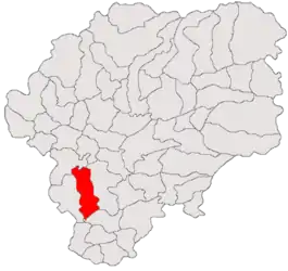 Location in Bistrița-Năsăud County | |
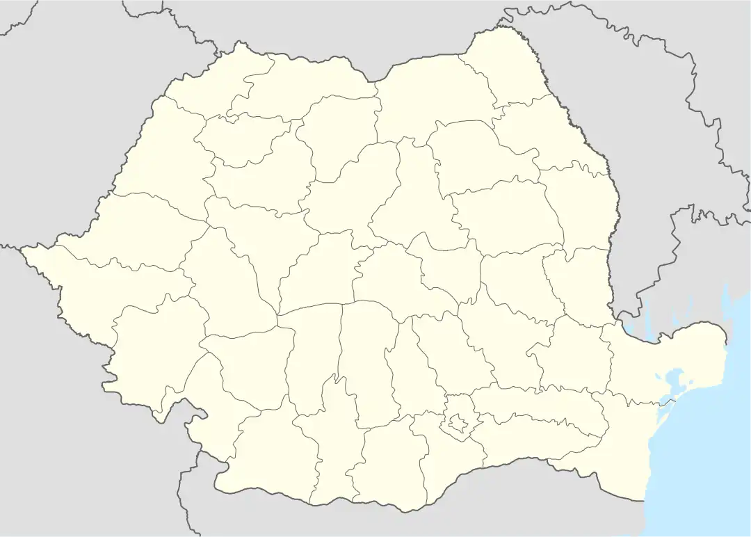 Matei Location in Romania | |
| Coordinates: 46°59′N 24°16′E / 46.983°N 24.267°E | |
| Country | Romania |
| County | Bistrița-Năsăud |
| Government | |
| • Mayor (2020–2024) | Vasile Encian (PNL) |
| Area | 86.02 km2 (33.21 sq mi) |
| Elevation | 330 m (1,080 ft) |
| Population (2021-12-01)[1] | 2,332 |
| • Density | 27/km2 (70/sq mi) |
| Time zone | EET/EEST (UTC+2/+3) |
| Postal code | 427135 |
| Area code | +40 x59 |
| Vehicle reg. | BN |
| Website | comunamatei |
Matei (Hungarian: Szentmáté; German: Mathesdorf) is a commune in Bistrița-Năsăud County, Transylvania, Romania. It is composed of six villages: Bidiu (Bödön), Corvinești (Kékesújfalu), Enciu (Szászencs), Fântânele (Újős), Matei, and Moruț (Aranyosmóric).
The commune lies on the Transylvanian Plateau. It is located in the southern part of the county, at a distance of 27 km (17 mi) from the town of Beclean and 34 km (21 mi) from the county seat, Bistrița; the city of Gherla is 38 km (24 mi) to the west, in Cluj County.
At the 2011 census, 52.3% of inhabitants were Romanians, 40.6% Hungarians, 5.8% Roma, and 1.2% Germans.
Natives
References
.jpg.webp)
Haller manor; nowadays the Matei town hall
.jpg.webp)
Reformed church in Matei

This article is issued from Wikipedia. The text is licensed under Creative Commons - Attribution - Sharealike. Additional terms may apply for the media files.