| Dobbertiner See | |
|---|---|
 | |
 Dobbertiner See | |
| Location | Dobbertin, Mecklenburg-Vorpommern |
| Coordinates | 53°36′50″N 12°04′08″E / 53.613889°N 12.068889°E |
| Primary inflows | Mildenitz |
| Primary outflows | Mildenitz |
| Basin countries | Germany |
| Max. length | 2.78 km (1.73 mi) |
| Max. width | 0.851 km (0.529 mi) |
| Surface area | 3.64 km2 (1.41 sq mi) |
| Average depth | 4.8 m (16 ft) |
| Max. depth | 11.8 m (39 ft) |
| Surface elevation | 45 m (148 ft) |
| Islands | none |
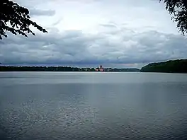
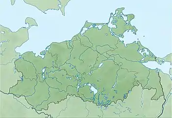
The Dobbertiner See is a lake within the Sternberger Seenlandschaft in Mecklenburg-Vorpommern, Germany. It is situated immediately to the south of the municipality of Dobbertin, and is about 200 kilometres (120 mi) northwest of Berlin.
The lake is approximately 2.78 kilometres (1.73 mi) long and 0.851 kilometres (0.529 mi) wide, with an average depth of 4.8 metres (16 ft) and a maximum depth of 11.8 metres (39 ft). It has an area of 3.36 square kilometres (1.30 sq mi), and is only 45.0 metres (147.6 ft) above sea level.
References
External links
 Media related to Dobbertiner See at Wikimedia Commons
- Nixdorf, B.; et al. (2004), "Dobbertiner See", Dokumentation von Zustand und Entwicklung der wichtigsten Seen Deutschlands (in German), Berlin: Umweltbundesamt, p. 61
This article is issued from Wikipedia. The text is licensed under Creative Commons - Attribution - Sharealike. Additional terms may apply for the media files.