Donatville | |
|---|---|
Hamlet | |
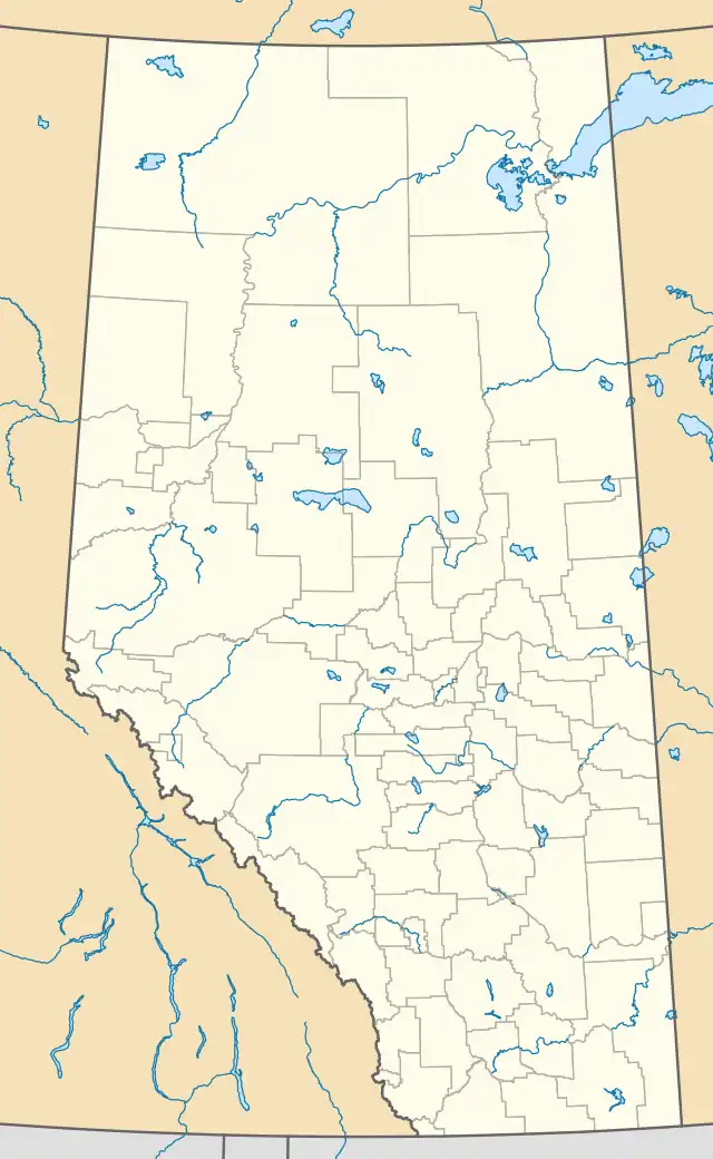 Donatville Location of Donatville in Alberta | |
| Coordinates: 54°44′49″N 112°48′14″W / 54.747°N 112.804°W | |
| Country | Canada |
| Province | Alberta |
| Region | Northern Alberta |
| Census division | 13 |
| Municipal district | Athabasca County |
| Government | |
| • Reeve | Doris Splane |
| • Governing body | Athabasca County Council
|
| Area | |
| • Land | 0.67 km2 (0.26 sq mi) |
| Population (2016)[2] | |
| • Total | 0 |
| Time zone | UTC-7 (MST) |
| • Summer (DST) | UTC-6 (MDT) |
| Website | www |
Donatville is a hamlet in northern Alberta, Canada within Athabasca County.[3] It is on Highway 63, approximately 118 kilometres (73 mi) northeast of Fort Saskatchewan. The community has the name of Donat Gingras, a pioneer citizen.[4] The first school opened in 1915.[5]
Demographics
As a designated place in the 2016 Census of Population conducted by Statistics Canada, Donatville recorded a population of 0 living in 1 of its 1 total private dwellings, a change of -100% from its 2011 population of 5. With a land area of 0.67 km2 (0.26 sq mi), it had a population density of 0.0/km2 (0.0/sq mi) in 2016.[2]
As a designated place in the 2011 Census, Donatville had a population of 5 living in 3 of its 6 total dwellings, a 0% change from its 2006 population of 0. With a land area of 0.66 km2 (0.25 sq mi), it had a population density of 7.6/km2 (19.6/sq mi) in 2011.[6]
See also
References
- ↑ "Municipal Officials Search". Alberta Municipal Affairs. May 9, 2019. Retrieved October 1, 2021.
- 1 2 3 "Population and dwelling counts, for Canada, provinces and territories, and designated places, 2016 and 2011 censuses – 100% data (Alberta)". Statistics Canada. February 8, 2017. Retrieved February 13, 2017.
- ↑ "Specialized and Rural Municipalities and Their Communities" (PDF). Alberta Municipal Affairs. January 12, 2022. Retrieved January 21, 2022.
- ↑ Place-names of Alberta. Ottawa: Geographic Board of Canada. 1928. p. 43.
- ↑ Boyle and District Historical Society (1982). Forests, furrows and faith : a history of Boyle and districts. Boyle. p. 25. Archived from the original on September 24, 2015. Retrieved August 12, 2013.
{{cite book}}: CS1 maint: location missing publisher (link) - ↑ "Population and dwelling counts, for Canada, provinces and territories, and designated places, 2011 and 2006 censuses (Alberta)". Statistics Canada. February 8, 2012. Retrieved April 7, 2012.