South Lewis County Airport Ed Carlson Memorial Field | |||||||||||
|---|---|---|---|---|---|---|---|---|---|---|---|
| Summary | |||||||||||
| Airport type | Public | ||||||||||
| Owner | Lewis County | ||||||||||
| Serves | Lewis County, Washington | ||||||||||
| Location | Toledo / Winlock | ||||||||||
| Elevation AMSL | 374 ft / 114 m | ||||||||||
| Coordinates | 46°28′38″N 122°48′23″W / 46.47722°N 122.80639°W | ||||||||||
| Map | |||||||||||
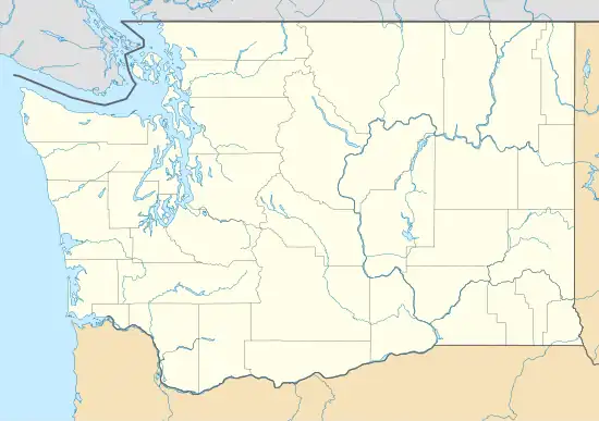
 TDO Location of airport in Washington  TDO TDO (the United States) | |||||||||||
| Runways | |||||||||||
| |||||||||||
| Statistics (2020) | |||||||||||
| |||||||||||
South Lewis County Airport (IATA: TDO, ICAO: KTDO, FAA LID: TDO), also known as Ed Carlson Memorial Field, is a county-owned public-use airport in Lewis County, Washington, United States. It is located three nautical miles (4 mi, 6 km) north of the central business district of Toledo, Washington.[1]
This airport is included in the FAA's National Plan of Integrated Airport Systems for 2011–2015, which categorized it as a general aviation facility.[2]
Facilities and aircraft
The airport covers an area of 95 acres (38 ha) at an elevation of 374 feet (114 m) above mean sea level. It has one runway designated 6/24 with an asphalt surface measuring 4,479 by 150 feet (1,365 x 46 m).[1]
For the 12-month period ending December 31, 2020, the airport had 8,300 aircraft operations, an average of 23 per day: 97% general aviation and 2% military. At that time there were 40 aircraft based at this airport: 38 single-engine, and 2 multi-engine.[1]
The airport was formerly a joint venture between Toledo and Winlock, but the South Lewis County Airport Board was created to manage the facility. It received a $1.2 million repaving in 2003.[3]
See also
References
- 1 2 3 4 FAA Airport Form 5010 for TDO PDF. Federal Aviation Administration. effective 5 October 2023.
- ↑ "Appendix A: List of NPIAS Airports with 5-Year Forecast Activity and Development Cost". National Plan of Integrated Airport Systems (NPIAS) Reports. Federal Aviation Administration. October 4, 2010. Archived from the original on 2012-10-27.
- ↑ Mittge, Brian (4 August 2003). "South Lewis County airport leader has eyes for the sky". The Chronicle (Centralia, Washington). Retrieved 26 July 2023.
External links
- Aerial image as of 21 June 1990 from USGS The National Map
- FAA Terminal Procedures for TDO, effective December 28, 2023
- Resources for this airport:
- FAA airport information for TDO
- AirNav airport information for KTDO
- ASN accident history for TDO
- FlightAware airport information and live flight tracker
- NOAA/NWS weather observations: current, past three days
- SkyVector aeronautical chart, Terminal Procedures