Espinho Airfield | |||||||||||
|---|---|---|---|---|---|---|---|---|---|---|---|
| Summary | |||||||||||
| Airport type | Public | ||||||||||
| Operator | Aero Clube Da Costa Verde | ||||||||||
| Serves | Espinho | ||||||||||
| Elevation AMSL | 10 ft / 3 m | ||||||||||
| Coordinates | 40°58′25″N 8°38′40″W / 40.97361°N 8.64444°W | ||||||||||
| Map | |||||||||||
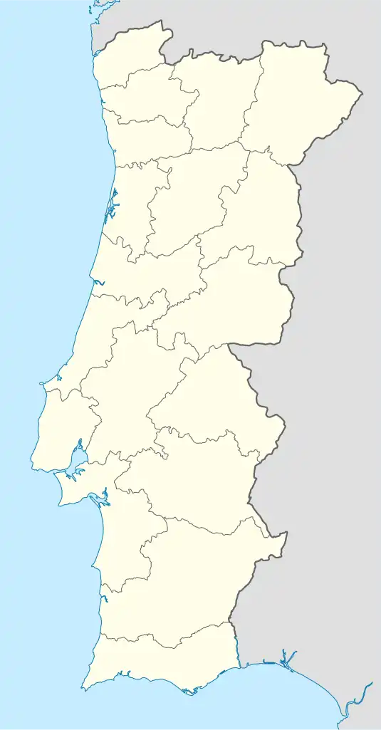
 Espinho | |||||||||||
| Runways | |||||||||||
| |||||||||||
Source: Google Maps[1] | |||||||||||

The unused part of the runway at Espinho airport
Espinho Airfield (ICAO: LPIN) is a recreational aerodrome serving Espinho in northern Portugal.
Originally built for the military, the aerodrome was later reduced in size and handed over to civilian use. After a deadly accident in 2005, a collision between a PA-28 plane and a car on the nearby road, the aerodrome was closed; it has since only been available to ultralight and model aviation.
The main airport and runway are closed/ built-over,[2] however the Aero Clube da Costa Verde (Portuguese language) operates a flying club and school for light aircraft, marking off 420 metres (1,378 ft) of the original runway's south end for use.
See also
References
- Great Circle Mapper - Espinho
- Google Earth
This article is issued from Wikipedia. The text is licensed under Creative Commons - Attribution - Sharealike. Additional terms may apply for the media files.