Fjarðabyggð | |
|---|---|
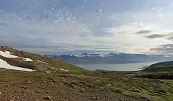 Skyline of Fjarðabyggð | |
.svg.png.webp) Coat of arms | |
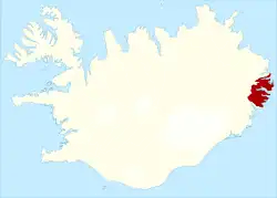 Location of Fjarðabyggð | |
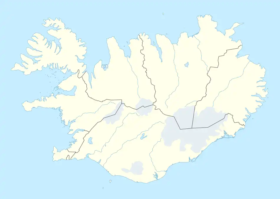 Fjarðabyggð | |
| Coordinates: 65°2′0″N 14°13′0″W / 65.03333°N 14.21667°W | |
| Country | Iceland |
| Region | Eastern Region |
| Constituency | Northeast Constituency |
| Government | |
| • Mayor | Jóna Árný Þórðardottir [1] |
| Area | |
| • Total | 1,164 km2 (449 sq mi) |
| Population (2019)[2] | |
| • Total | 5,070 |
| • Density | 4.36/km2 (11.3/sq mi) |
| Postal code(s) | 715, 730, 735, 740, 750, 755 |
| Municipal number | 7300 |
| Website | fjardabyggd |
Fjarðabyggð (Icelandic pronunciation: [ˈfjarðaˌpɪɣθ] ⓘ) is a municipality located in eastern Iceland, in the Eastern Region.
History
The municipality was formed in 1998 with the union of the former municipalities of Eskifjörður, Neskaupstaður and Reyðarfjörður. Austurbyggð, Fáskrúðsfjarðarhreppur and Mjóafjarðarhreppur were merged into Fjarðabyggð in 2006,[3] and Breiðdalshreppur merged in 2018.[4]
Geography
The municipality is composed by the following villages:
| Rank | Village | 2011 Population |
|---|---|---|
| 1. | Neskaupstaður | 1,437 |
| 2. | Reyðarfjörður | 1,102 |
| 3. | Eskifjörður | 1,043 |
| 4. | Fáskrúðsfjörður | 662 |
| 5. | Stöðvarfjörður | 203 |
| 6. | Mjóifjörður | 35 |
Twin towns – sister cities
Fjarðabyggð is twinned with:[5]
 Esbjerg, Denmark
 Eskilstuna, Sweden
 Gravelines, France
 Jyväskylä, Finland
 Qeqqata, Greenland
 Stavanger, Norway
 Vágar, Faroe Islands
References
- ↑ "BÆJARSTJÓRI". fjardabyggd.is (in Icelandic). Sveitarfélagið Fjarðabyggð. n.d. Retrieved 2 January 2022.
- ↑ "Population by municipalities, sex and age 1 January 1998-2019 - Current municipalities". PX-Web. Retrieved 7 April 2019.
- ↑ "SAGA FJARÐABYGGÐAR". www.fjardabyggd.is. Archived from the original on July 23, 2013. Retrieved 2016-06-18.
{{cite web}}: CS1 maint: unfit URL (link) - ↑ "Fjarðabyggð og Breiðdalshreppur sameinast". Retrieved 2018-11-19.
- ↑ "Vinabæir". fjardabyggd.is (in Icelandic). Fjarðabyggð. Retrieved 2020-02-12.
External links
![]() Media related to Fjarðabyggð at Wikimedia Commons
Media related to Fjarðabyggð at Wikimedia Commons
- Official website (in Icelandic)
- Visit Fjarðabyggð
This article is issued from Wikipedia. The text is licensed under Creative Commons - Attribution - Sharealike. Additional terms may apply for the media files.