Guntupalle | |
|---|---|
.svg.png.webp) Guntupalle Location in Andhra Pradesh, India 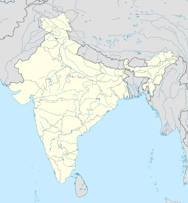 Guntupalle Guntupalle (India) | |
| Coordinates: 17°00′05″N 81°04′56″E / 17.00150°N 81.08214°E | |
| Country | India |
| State | Andhra Pradesh |
| District | Eluru |
| Area | |
| • Total | 1.06 km2 (0.41 sq mi) |
| Elevation | 16 m (52 ft) |
| Population (2011) | |
| • Total | 4,113 |
| • Density | 3,900/km2 (10,000/sq mi) |
| Languages | |
| • Official | Telugu |
| Time zone | UTC+05:30 (IST) |
Guntupalle is a village in Eluru District of the Indian state of Andhra Pradesh. It is located in Kamavarapukota mandal of Eluru revenue division. It is located at a distance of 42 km from district headquarters Eluru city. It is well known tourist destination famously known for Guntupalli caves. The nearest train station is Eluru railway station.
Demographics
As of 2011 Census of India, Guntupalle had a population of 4113. The total population constitutes 2086 males and 2027 females, a sex ratio of 972 females per 1000 males. 395 children are in the age group of 0–6 years, a child sex ratio of 946 girls per 1000 boys. The average literacy rate stands at 70.06%.
References
This article is issued from Wikipedia. The text is licensed under Creative Commons - Attribution - Sharealike. Additional terms may apply for the media files.