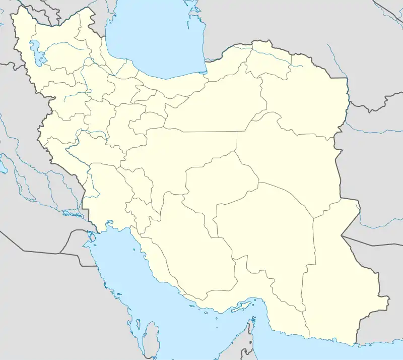
Khakestar
خاکستر | |
|---|---|
Historical settlement | |
 Khakestar | |
| Coordinates: 37°03′12″N 59°27′00″E / 37.053311°N 59.449957°E[1] | |
| Country | |
| Province | Razavi Khorasan |
| Time zone | UTC+3:30 (IRST) |
| • Summer (DST) | UTC+4:30 (IRDT) |
Khakestar (Persian: خاکستر, romanized: Khākestar), also called Rībāt-i-Khākistar, is a historical settlement and caravanserai in Khorasan in the mountains that now separate Iran from Turkmenistan.[2] [3] Formerly a customs post on the border between Qajar Iran and Imperial Russia,[2] it is located on the banks of the Lain stream, which flows down from here to Kaakhka in Turkmenistan.[4] It is surrounded by hills with a large sugar loaf-shaped mountain on one side, and it has a spring.[5]
The 11th-century Seljuk emir Savtegin was born at Khakestar, and he later built a ribat (i.e. caravanserai) here.[6]
In the late 1800s, Mirza Reza Khan Arfa od-Dowleh visited the village of Khakestar after hearing a story about its inhabitants' longevity.[5] He wrote that it was close enough to Quchan that someone could leave Quchan in the morning, eat lunch in Khakestar, and be back in Quchan by the evening.[5] Its buildings were made of mud, with roofs variously made from wood or reeds.[5] There were 80 families and many of the villagers were old; there was basically zero surplus food production so when young people grew up and got married they would emigrate from the village.[5] In years where the harvest was good, their diet consisted of wheat bread and dairy products - milk, cheese, and yogurt.[5] When the wheat harvest was poor, they would eat barley bread.[5] Their main subsistence was from keeping livestock and selling the wool in the markets at Quchan or Shirvan; they had no fruit gardens and bought fruit, clothes, and dishes at the markets.[5]
In 1918, the British agent Reginald Teague-Jones stopped at Khakestar on his way from Mashhad into Russian territory; at that time, Khakestar was a quarantine post for travellers coming into Iran from Russia, where there was an outbreak of cholera at the time.[2]
References
- ↑ "Geonames Search". Do a radial search using these coordinates here.
- 1 2 3 Minassian, Taline Ter (2014). Most Secret Agent of Empire: Reginald Teague-Jones, Master Spy of the Great Game. Oxford University Press. ISBN 9780190257491. Retrieved 11 April 2022.
- ↑ Adamec, Ludwig W. (1976). Historical Gazetteer of Iran: Meshed and Northeastern Iran. p. 571. ISBN 9783201011594. Retrieved 11 April 2022.
- ↑ Yate, Charles Edward (1900). Khurasan and Sistan. William Blackwood and Sons. p. 161. Retrieved 11 April 2022.
- 1 2 3 4 5 6 7 8 Mirza Reza Khan Arfa od-Dowleh; Noël-Clarke, Michael (translator) (2016). Memories of a Bygone Age: Qajar Persia and Imperial Russia 1853-1902. Gingko Library. ISBN 9781909942875. Retrieved 11 April 2022.
{{cite book}}:|first2=has generic name (help) - ↑ Peacock, A.C.S. (2015). The Great Seljuk Empire. Edinburgh University Press. ISBN 9780748698073. Retrieved 11 April 2022.